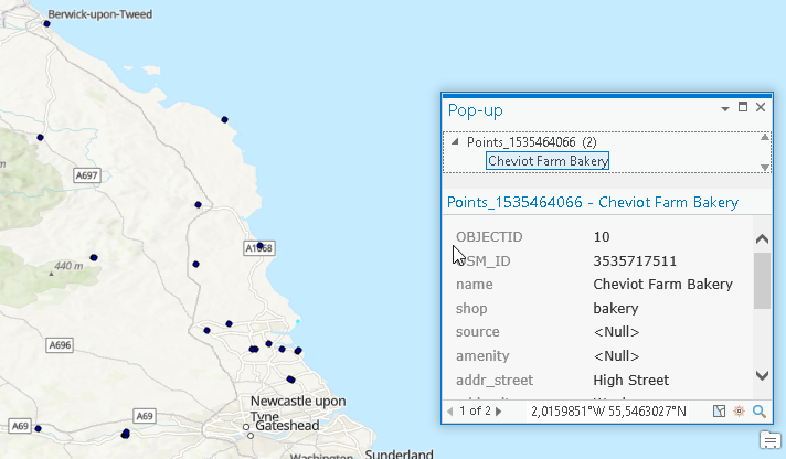
Run GIS functions directly in Python with GeoPandas
GeoPandas, once installed, supports you with a handfull of GIS functions in your Python notebooks and will leverage your work with geospatial data. But to be honest: this…
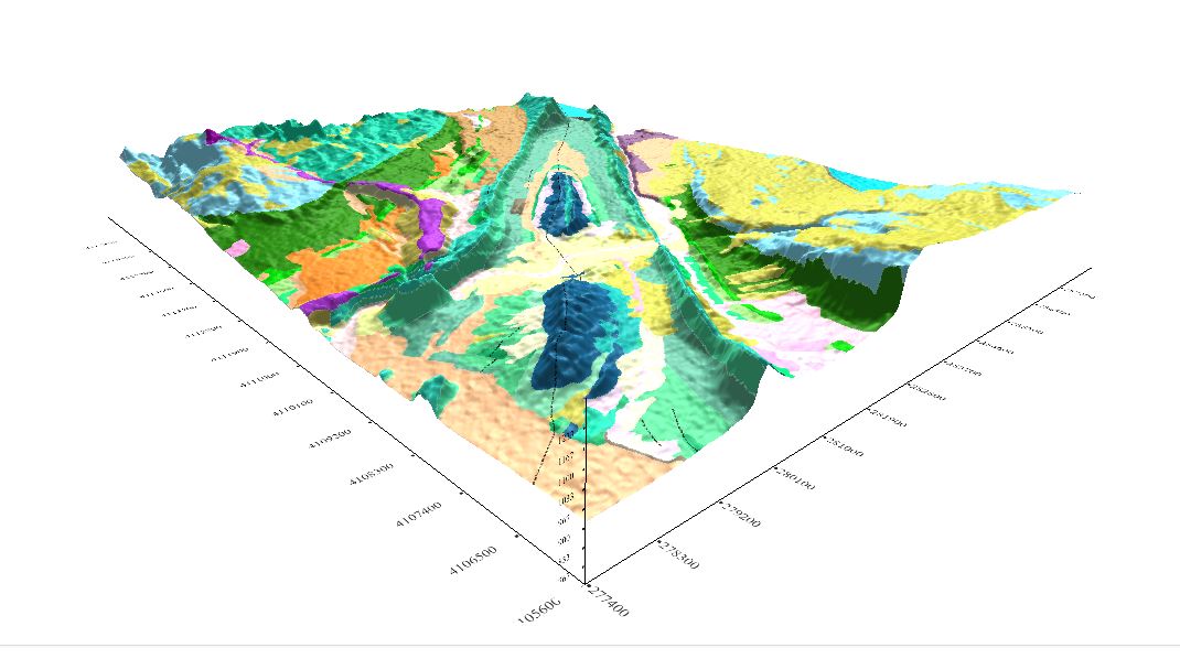
Geomodelr is the first web geological modeling platform. It helps you to model complex geological settings with simple operations. Additionally, It helps people to share and reuse geological models. Geomodelr…
While preparing for an upcoming presentation at the annual meeting of the American Geophysical Union (AGU) I came across a topic that I thought might make an interesting blog…