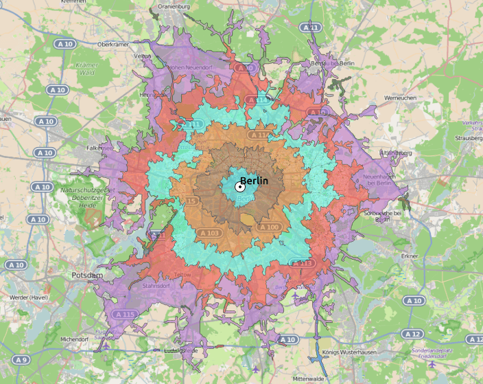
Author: Riccardo

In 2008 I finished my degree in geography and mathematics at the FU Berlin in Berlin. After a short stay in science as a research assistant I am a project manager in the geo-industry.

pixel map generator example

Pixel Map Generator

The co-founder of webkid.io and interactive developer Moritz Klack recently shared a tweet about the Pixel Map Generator which is a nice addition to my recent “comparison” of…
GIF styles

ArcGIS Earth

When I visited university (I have t admit, this was some years ago 😉 ) I was told ArcGIS cannot “do” 3D. This was the part where CAD…
INTERGEO 2015

Conference INTERGEO 2015

Last years INTERGEO in Berlin was an interesting experience for a newbie in the world of geodesy like I am. This year I will also attend the INTERGEO…

Short Announcement: Leaflet 1.0

Leaflet is one of a kind in the list of javascript webmapping libraries. It was designed with simplicity, performance and usability in mind. Unfortunately the development seemed to…

Spatial Big-Data: 10 stunning services

In the last month the German website Spiegel-Online showed some nice examples of big-data combined with geodata. Geodata get’s more important with every GPS-enabled device that is sold,…
QGIS 2.10

Attention: QGIS 2.10 is coming!

Four months ago QGIS 2.8 was released. The Long Term Release will be suppported for the next 2 years. Besides this LTR version QGIS is updated in a…
OSM routing

Routing in QGIS… with OSM

Routing with Google is quite cool as the database/network is probably the best currently available. But the terms of services limit the possible usage. So what about OpenStreetMap?…