Leaflet is one of a kind in the list of javascript webmapping libraries. It was designed with simplicity, performance and usability in mind. Unfortunately the development seemed to have stopped for a while. This week Vladimir Agafonkin (the creator of Leaflet) released a Beta version of Leaflet 1.0
Leaflet 1.0
Leaflet Custom Markers
Leaflet is used by a variety of companies as their major mapping engine when it comes to the question “Where is my ‘stuff'”: Github, Facebook, Flickr and other big players!
With Leaflet 1.0 we can see a leap in functionality of Leaflet and it will still be modular, small and easy to develop with
huge performance improvements, especially for vector layers
flyover animations
fractional zoom level support (map.setZoom(12.34))
better tile loading
support for multiple vector layer panes
better support for non-standard projections
more accessibility features
bugfixes and stability improvements
Of course Vladimir also added bugfixes and stability improvements. He presented his last efforts 2014 at JS.Geo:
Especially this new fly-to mode is a unique piece in my eyes and will probably flassh all the users known it from Google Earth. Let us hope that also all the great plugins will work with this new version!
Prior upgrading yur webmap to work with Leaflet 1.0 you should check the changelog. It’s not unlikely that you need to redefine some aspects of your current Leaflet 0.7.3 based webmap.
Thank you Vladimir for this new version!
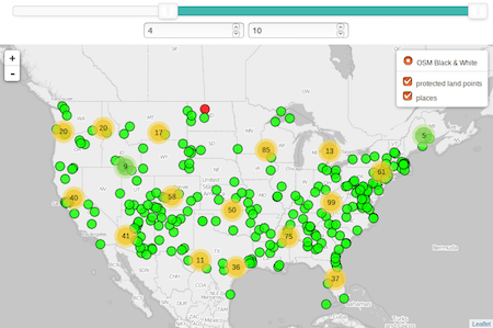
When it comes to webmapping there are thousands of possible markers you can choose from but when it comes to markers depending on the data, which is inside…
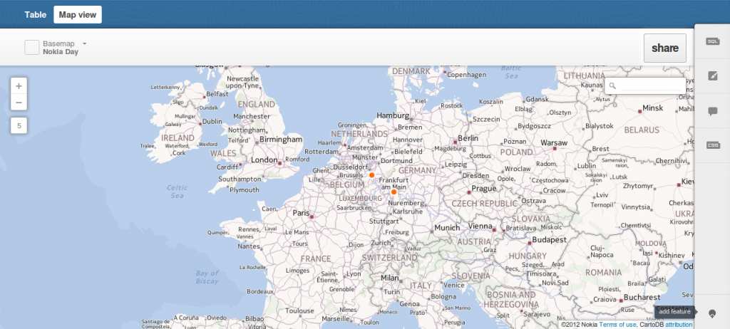
We have already introduced cartoDB which is a platform for storing, administering and visualizing spatial data. One straight feature of cartoDB is the usage of GeoJSON for exporting…
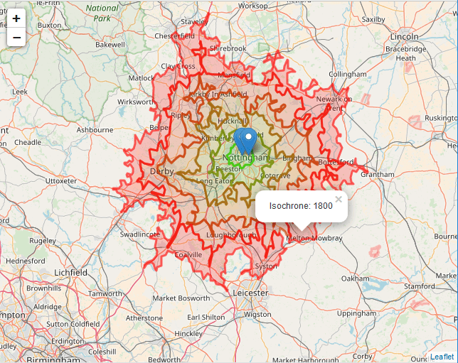
The page OpenRouteService.org is a very easy to use website which provides routing from A to B via C. It also allows to choose between different routing types…