We recently showed some possibilities to work with routing APIs in QGIS. Besides the Google API and the API from OpenRouteService.org Mapbox also offers some nice routing technology with their Directions API. This was recently updated.
Directions API with elevation awarenessMapbox, the underdog out of San Francisco, just drive there services one step further. First coming more from the “custom maps” arena they are expanding more and more into the field of geodata functionality and services aside the plain cartographic stuff.
Directions
Besides their great bigger news (cloudless Landsat, “swallowing” Leaflet, …) they also introduced an own directions service and add further capabilities step by step.
First there was the simple Smart Directions API for car traffic. Now you can use their API for walking and cycling and alter options for the desired routes.
You’re limited to 60 requests per minute (which is three times the limit of the OpenRouteService.org API) and need a mapbox developer key. But check out this great examples:
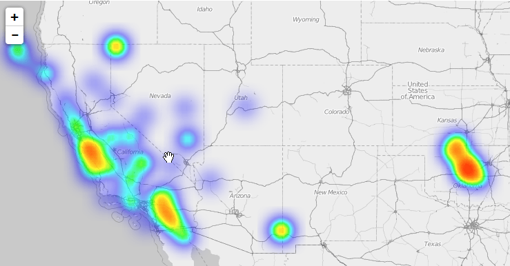
walking directions API example
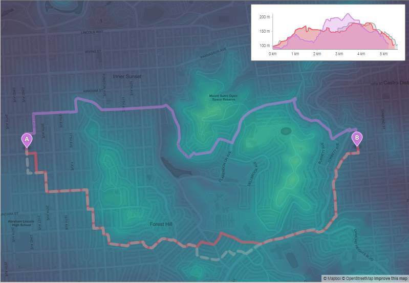
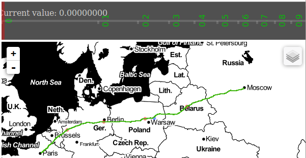
And here the new elevation aware routing:
If you want to support and take part in this development don’t hesitate and check out their recent open positions: They are searching at least one directions developer ;-).
There are so many applications out there but they probably share one thing: export your data as a XXX-delimited table. And it’s also very easy to create a…
Some months ago I published qgis2leaf which enables a QGIS user to publish a webmap the easy way. It was integrated into qgis2web which offers a leaflet and…
When Mike Bostock published his (re-) implementation and demonstration of Visvalingams algorithm for line simplification he attracted considerable attention on that. What is a little bit strange in…

What app we can view in animated gif?