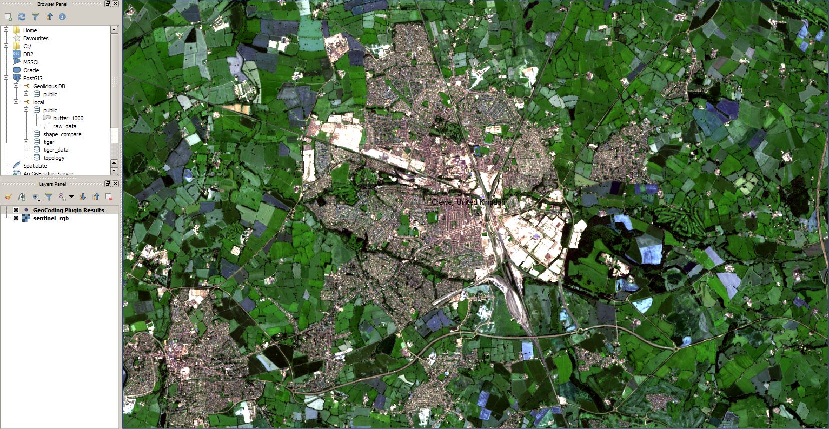
QGIS 2.16 tutorial: georeferencing images
Since our last tutorial regarding georeferencing images in QGIS is 4 years old, let us have a second look at this task in the current times of QGIS…
There were some rumors in the blogosphere about the new program of National Geographic Society. But one thing first as it is more important: Our good old friend…
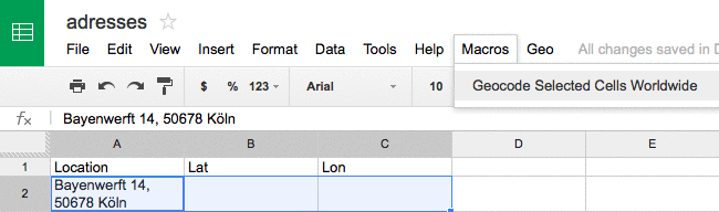
For our job site here on digital-geography I was searching for a way to auto geocode spreadsheet location cells. So I’ve found this very short announcement from Max.…
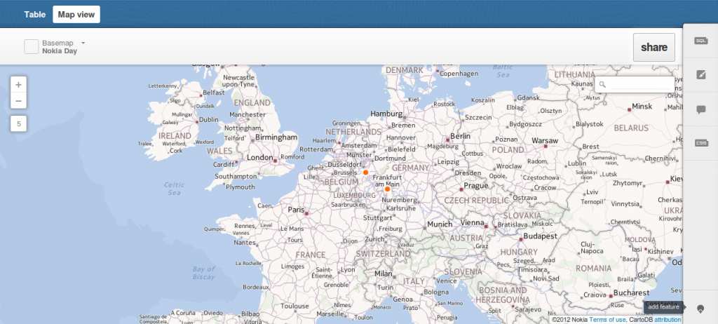
We have already introduced cartoDB which is a platform for storing, administering and visualizing spatial data. One straight feature of cartoDB is the usage of GeoJSON for exporting…
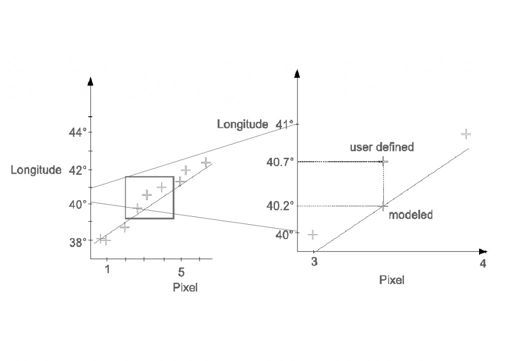
In this tutorial I’ll show you, how to georeference a map using the open source software QGis. You can easily download and install QGis from the following Source: QGIS…