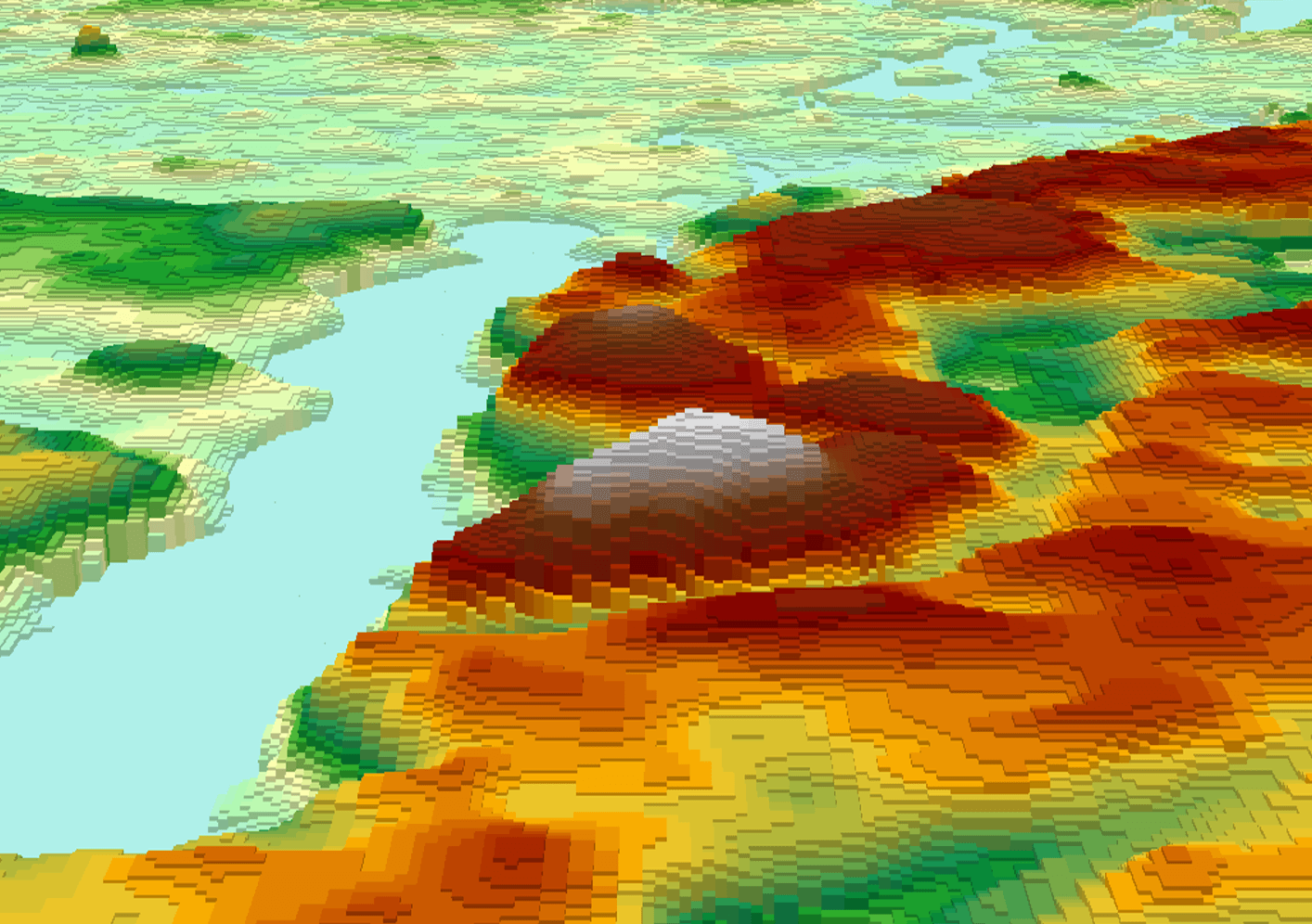
Create Pseudo 3D Topographies in QGIS
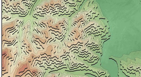
John Nelson did it again and amazed us by recreating AI topographic images with ArcGIS Pro. He showed the process in his latest youtube video. You may ask…


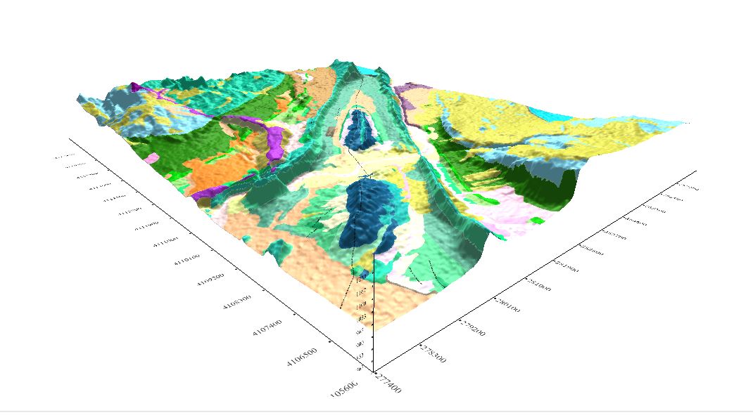
Geomodelr is the first web geological modeling platform. It helps you to model complex geological settings with simple operations. Additionally, It helps people to share and reuse geological models. Geomodelr…

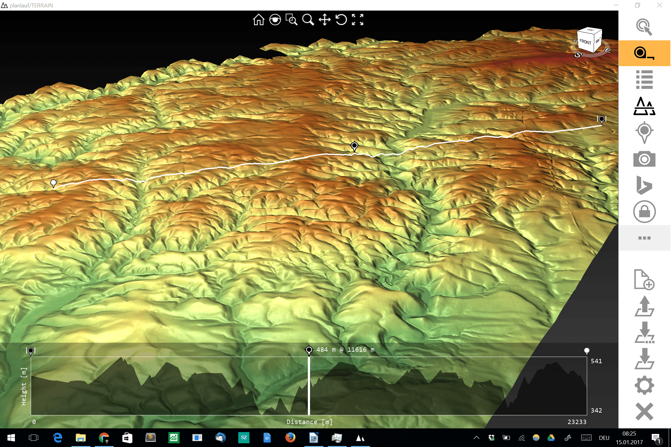
The visualization and interpolation of 3D terrain (point) data (DEM or DOM) could be a hard task for current GIS software and small to midsize hardware. One thing…