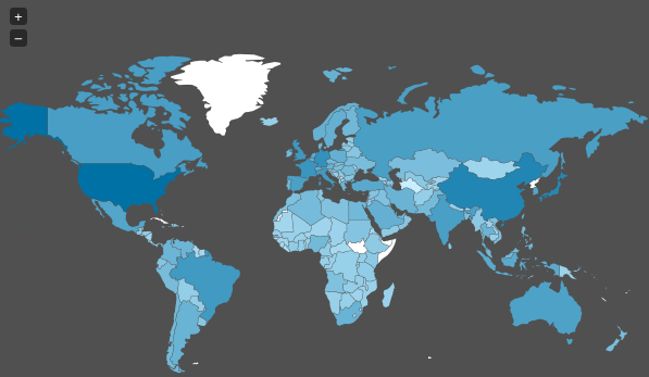
Today I stumbled upon a “map” on Spiegel Online ( an import news page in Germany ) which shows the spied countries of the NSA. As we already know leaflet quite good and also tried other mapping possibilities I was interested in what they are using for this map which is more informative than this useless map. So looking on the source code: It’s a library called jvectormap.
You can download jvectormap here and also the tutorials are easy to understand. What it makes interesting to me as a novice in jquery are the tutorials and shipped examples which show an everyday functionality: trigger the visibility of map elements from outside the map. Additionally it has some interesting value-to-color representation:
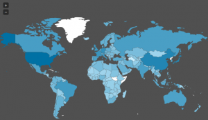
This is done just by two arguments: two points and an interpolation function which uses maximum and minimum values of the given list of values. So: very nice and easy to use. We will probably come up with a tutorial on this so stay tuned!
