Tag: webmaps


Spatial Big-Data: 10 stunning services
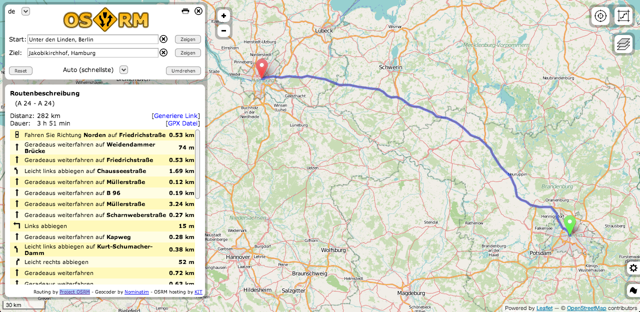
open navigation overview: 4 OSM routing services
Routing is one of the main tasks when using Google Maps and co. Some systems are directly inserted into cars, some others should show us practical routes to…
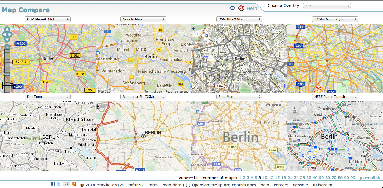
Map Compare – a direct comparison of basemaps and cartogrphic styles
Driven of the high usability of webmaps for companies and projects, many background-styles are available online. The existing styles can be easily implemented in your own project-map. Depending…
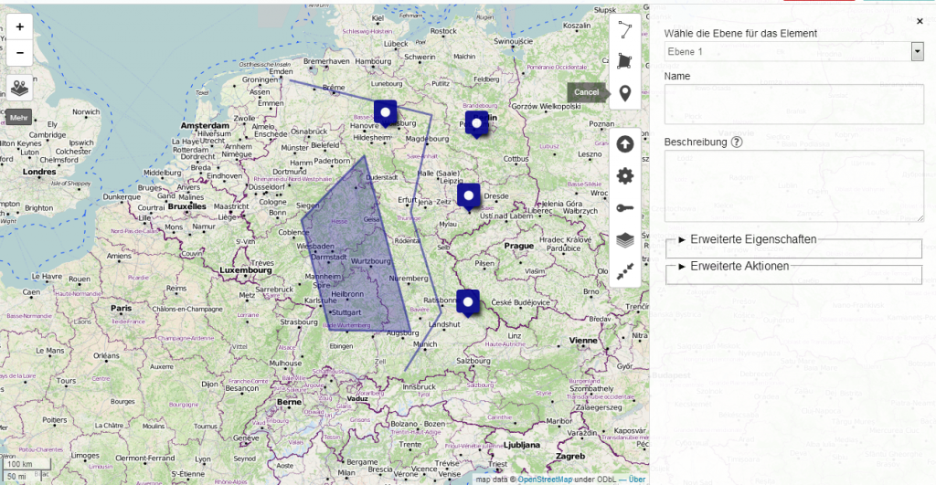
uMap – easy open source webmap creation based on OSM, Leaflet and Django
Creating maps is the most appropriate way to present spatial data. In the last years several methods appeared to generate such webmaps. Based on a tile-layer, wich contains…
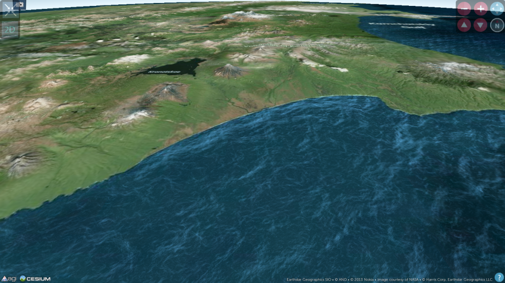
2013 in maps: a short review
Thanks to Christoph, he also runs a specific blog on paleoseismicity, who send me the link, I want to share the gizmodo list of best maps 2013 with…
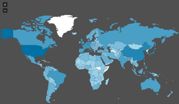
The Spiegel Magazine and their “maps”
Today I stumbled upon a “map” on Spiegel Online ( an import news page in Germany ) which shows the spied countries of the NSA. As we already…
NeoCartography and the need to code
The time when I studied Geography and Mathematics is long ago. So I chose Cartography as one major part of my studies and learned to draw circles and…
How to find geospatial data for Spain
In some countries, such as the USA and Spain, there is a very nice law that makes life easy for geoscientists. This law guarantees free access to a…