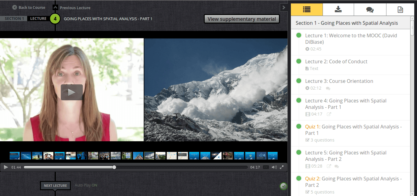
- Section 1: Going Places with Spatial Analysis
- The value of spatial analysis
- Section 2: Understanding and Comparing Places
- Mapping and querying data
- Descriptive statistics
- Scale of analysis
- Projection
- Section 3: Determining How Places are Related
- Summarizing to areas
- Vector overlay
- Modifiable areal unit problem
- Normalizing data for choropleth mapping
- Section 4: Finding the Best Locations and Paths
- Topology
- Spatial queries
- Site suitability
- Cost paths
- Section 5: Detecting and Quantifying Patterns
- Intensity/density surfaces
- Visualization and classification
- Spatial autocorrelation
- Including a temporal dimension
- Section 6: Making Predictions
- Spatial interaction
- Regression
- Surface analysis
- Interpolation
short announcement: ESRI MOOC – the outline

As we already informed here about the new ESRI MOOC (Massive Open Online Course) we also stated, that it is a pitty that there is no schedule available. Due to this there might be a mismatch between people’s expectations and the content of the MOOC. We also got the information that this MOOC is not for the GIS beginners.
Long story short:
There is a syllabus online.
The content is accompanied with video lectures, self-assessment quizzes and case study exercises.
The outline of the six-week course is:
Subscribe
0 Comments


