
Short Announcement: new MOOC on GeoInt!
Today I received an interesting E-mail from Pennstate University which pointed towards an upcoming MOOC with a more or less special focus: Geospatial Intelligence. The title is Geospatial…

Since July 1st 2014, the Deutscher Wetterdienst (DWD) eased restrictions for the usage of climate data and provides users with a big dataset of free climate data for…
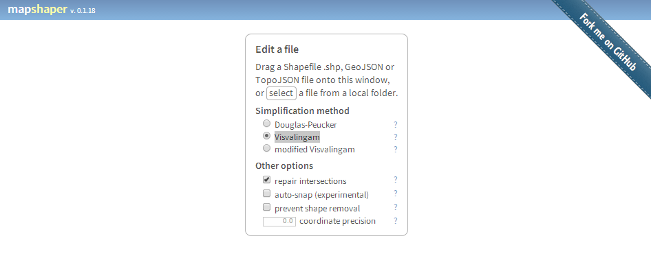
Mapshaper by mbloch is one of my favourite “swiss army knife”-tools if you need fast data reduction and topology first aid in polygon data handling. There a two…
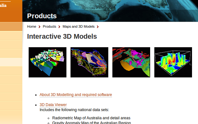
The Australian government now provides a bunch of commercial and free geodata on their Australia Geoscience-Portal. Like the well known U.S. data provider Earth-Explorer, you can do a product…
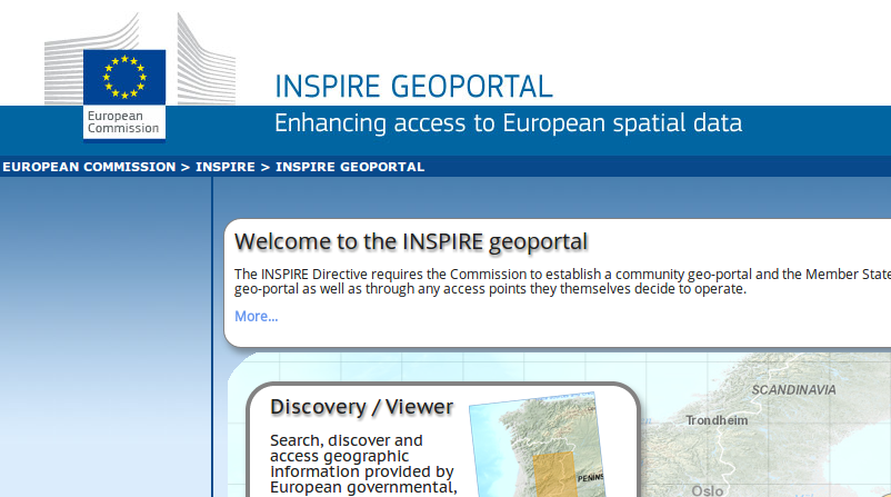
Aalborg in Denmark will be a place to be in the middle of June as INSPIRE rocks the city. The initiative “Infrastructure for Spatial Information in the European…
Since the start of Google Earth in 2001 (it was re-released in 2005 after Google acquired it from Keyhole, Inc ) remote sensing images made their way into…
Sometimes you need to replace bits and bytes with dirt and soils, and today’s news are really pushing me to leave the desk and to go for a…
You probably already referenced maps with written coordinates but using photos or images is a little different as you need some characteristic points so you can control the…
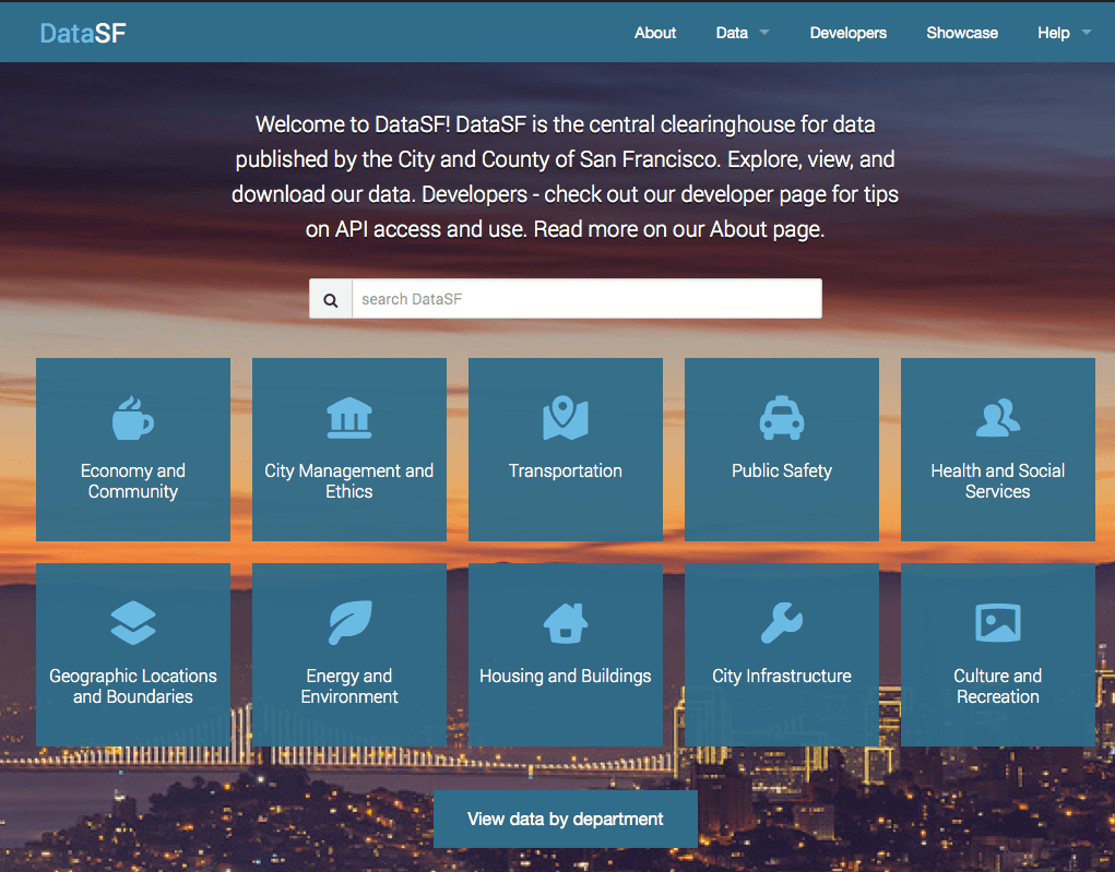
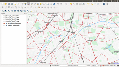
Everyone working with data knows the problem: You found some interesting data for your journalistic project or statistics for preparing a nice map, but the data comes messy…