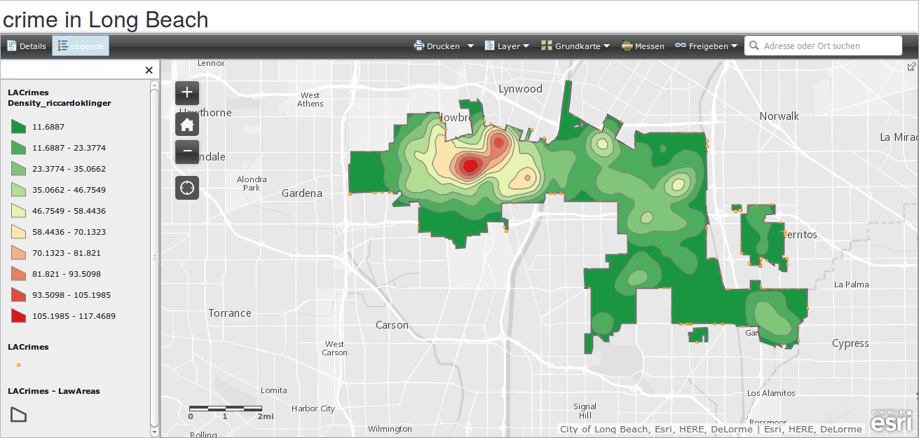
Today I received an interesting E-mail from Pennstate University which pointed towards an upcoming MOOC with a more or less special focus: Geospatial Intelligence. The title is Geospatial Intelligence & the Geospatial Revolution:
Learn how the revolution in geospatial technology combined with the tradecraft of Geospatial Intelligence (GEOINT) have changed how we develop insights about how humans use geography, and discover the power of GEOINT.
So let’s have a look at. Pennstate University organized one of the first big MOOCs in the field of GIS or/and geodata/geo-visualisation with their MOOC Maps and the Geospatial Revolution which used ArcGIS online prior the last big ESRI MOOC and they have done this using the Coursera education platform.
So where does this GeoInt course will start?
About the MOOC
You will learn what data is used in GeoInt, how to get the data, how to analyze the data and how to present it. Furthermore you will get an insight on data secrecy. So it goes along with the mentioned basic courses and will probably not provide a deep insight for GIS/geodata professionals. Those might be interested in an Pennstate online course called Advanced Analytic Methods for the GEOINT Professional.
The basic Coursera MOOC will last for 5 weeks and might be a possibility to get an insight into this special topic. It will start on January 14th. You will need about 6-9 hrs per week but my perception was always that it took not that long to read the stuff, understand everything and to do the “homeworks” for nearly every MOOC i’ve attented so far.
Together with directions magazine Pennstate also produced some short webinars. Check them out here.
Here is there 1 hr webinar about GeoInt
About the instructor
Todd S. Bacastow is Professor of Practice for Geospatial Intelligence at PennU and has a military background as he was at the US Military Academy at West Point:Before joining Penn State in 1994, Dr. Bacastow retired from the United States Army where he served in a variety of infantry, engineer, and geospatial intelligence assignments and positions. He was previously an Assistant Professor in the Department of Geography and Computer Science and an Associate Professor in the Department of Geography and Environmental Engineering at the US Military Academy. He holds a BS in Engineering from the United States Military Academy, and a MS and PhD in Geography from Penn State University.But let’s keep it simple. By seeing a person and presenting a subject one might get a good feeling for who he/she is:


Great. Thanks for this.
https://www.canvas.net/browse/delmarcollege/courses/cn-1681-intro-qgis