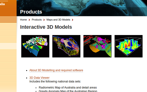
The Australian government now provides a bunch of commercial and free geodata on their Australia Geoscience-Portal. Like the well known U.S. data provider Earth-Explorer, you can do a product search, browse the full collection of data and application or find new released datasets. Besides this common features of data portals, the site offers a great collection of processed maps, datasets and really nice interactive models for geoscientific issues of Australia via WMS, WFS and WCS (Web Coverage Service).
Here are the categories in maps and 3D model section from the portal:
- Earth Monitoring and Reference Systems
- Earth Observation and Satellite Imagery
- Education
- Energy
- Greenhouse Gas Storage
- Groundwater
- Hazards
- Marine and Coastal
- Minerals
- Topographic Mapping
The Data and Application section contains:
- Data standards and symbols
- Free data downloads
- Earth Monitoring– including Geodesy, GPS and Geomagnetism.
- Earth Observation and Satellite Imagery– satellite imagery and data including aerial photography.
- Energy– geological provinces database, Offshore Petroleum Acreage Release Data Room.
- Greenhouse Gas Storage
- Groundwater
- Hazards– Sentinel bushfire mapping application, Australian earthquakes database.
- Marine and Coastal– Australian Marine Spatial Information System (AMSIS), Australian Maritime Boundaries (AMB).
- Minerals– including GADDS, Australian Geological Provinces, and Stratigraphic Units databases
- Web Services
- Reference Databases– AusGeoRef, Library Catalogue, Stratigraphic Units Database, index of our spatial metadata.
- Topographic Mapping– Digital topographic data, digital elevation models (DEMs) and GIS datasets.
If you want to visit the homepage on toplevel, here you are: http://www.ga.gov.au/index.html
How do you set up a service for mobac with the NATMAP250K data? http://www.ga.gov.au/geows/