Thanks to the Twitterline of @directionsmag I’ve seen this new beautiful tiled WMS: OSM roads (new)
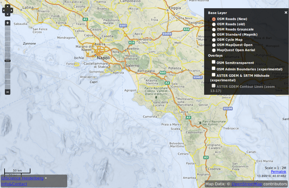
According to the website itself the main focus was on the creation of nice looking labels as they are crucial for the look and feel of maps and web mapping services in special. Other mapped elements are (cited from the blog):
- Fully automated Map labeling using new multi-criteria model.
- Settlements in OSM database have been patched with the data from GeoNames project in order to meet a lack of data in OSM data that helps to use point-feature hierarchy more correctly.
- The label density for point-feature types is increased in average by 7 %.
- Labels of islands, capes and water bodies (rivers, seas, gulf, etc.) were added on small scales.
- Color palette is heavily re-designed.
- Colored shaded ocean depth bathymetry .
- Depth contour lines (isobaths) of bathymetry.
- Hypsometrically colored and shaded relief using GlobCover and STM v4.1, ETOPO1 datasets.
- Names of marine polygons and maritime lines from NaturalEarthData map dataset.
So check their OpenMapSurfer to get an insight in their OSM map