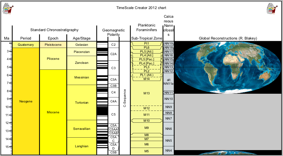
TimeScale Creator – stratigraphic tables made easy!
Recently I found a nice tool that generates stratigraphic tables (geology) for free. TimeScale Creator is Java-based (works with Win, Linux and MacOS) and allows you to compose…
Recently I found a nice tool that generates stratigraphic tables (geology) for free. TimeScale Creator is Java-based (works with Win, Linux and MacOS) and allows you to compose…


The geospatial media industry is really negligible. Some blogs here, some magazines there. Luckily their authors are very hard-working. This article will introduce a magazine called “Geospatial World”…
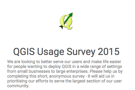
The free and open source gis QGIS started an user survey on its online webpage. The project needs your input to get the best necessary community information for…
Once in a while you may need to take an unprojected file and add coordinate parameters to the header. Assuming you use ENVI, the hard way is to…
An article from Anders. Geodata in javascript GeoJSON is the standard way of storing geodata in JSON, javascripts native data format. The wikipedia article has very clear and…

I was reading an article entitled “China, the megalopolis of 110 million inhabitants that impresses the world” on a popular online journal (see article) and after a dozen…