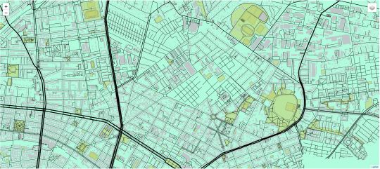
Create your own vector basemaps the easy way
Basemaps are a web cartographers best friend, aren’t they. There are plenty of them online, ready to be embedded in your upcoming nice web map application. In this…
Today I wanted to hack together a standalone script using PyQGIS, the QGIS Python bindings, to write a small prototype. I hadn’t written such a standalone script yet,…
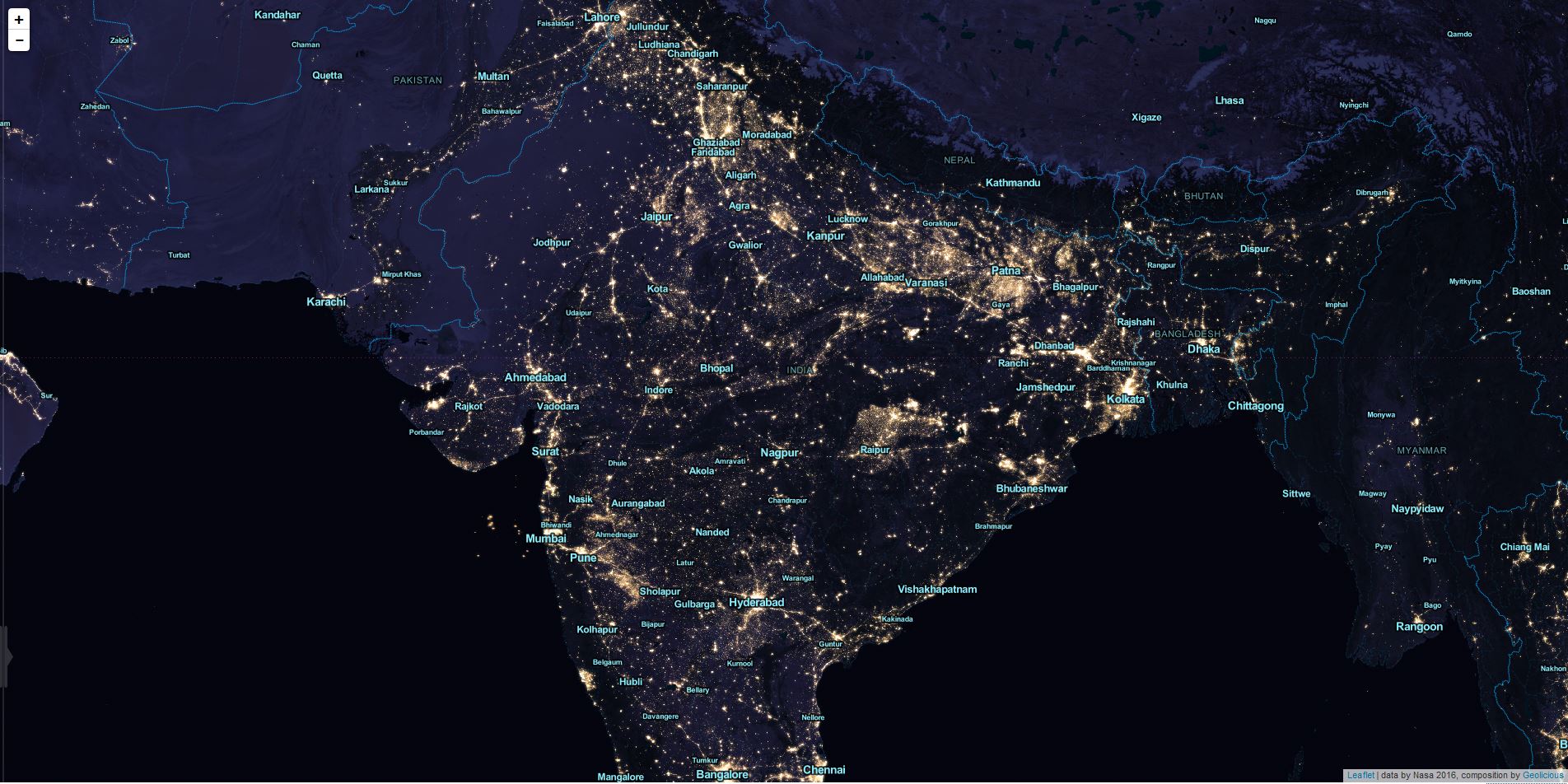
Tiled map layers are an important part of the digital mapping stack, since Google and others introduced their slippy maps quite some time ago. There’s a huge ecosystem…
This post is just a quick update on a unique event unfolding in my home state of Alaska and a cool new tool to help you post image…
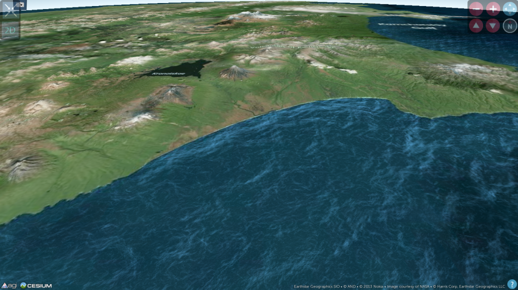
While preparing for an upcoming presentation at the annual meeting of the American Geophysical Union (AGU) I came across a topic that I thought might make an interesting blog…
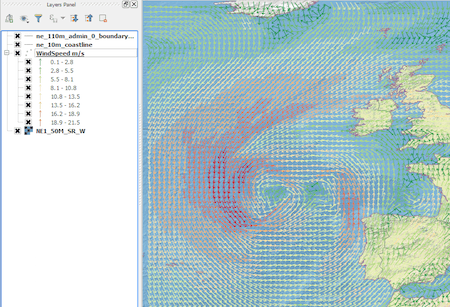
Introduction In this post we are going to look at how to get weather forecast data and display it as a layer in a desktop geographical information system…
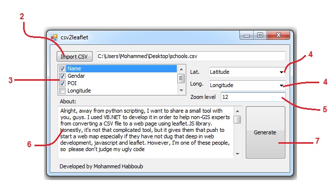
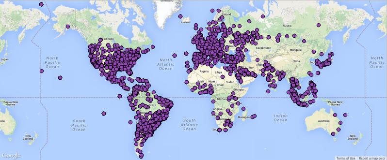
Alright, away from python scripting, I want to share a small tool CSV to HTML 101 with you, guys. I used VB.NET to develop it in order to help…

This is truly not a GIS oriented post but when it comes to science or studying you probably faced a big stack of books or a more or…
Thanks to Christoph, he also runs a specific blog on paleoseismicity, who send me the link, I want to share the gizmodo list of best maps 2013 with…
Digital Geography is online since august 2012. We had an extremely successful year since then. As we are planning to move to a new server with a new…