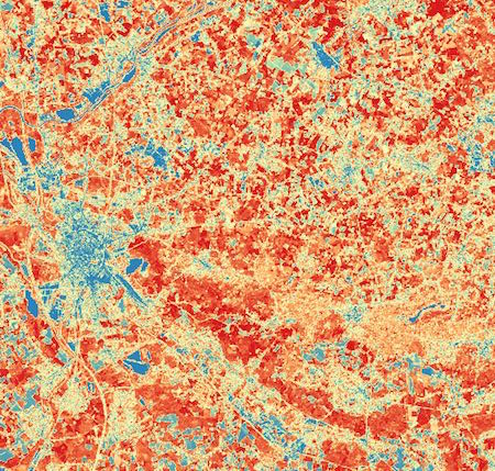
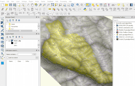
Using Sentinel-2 for crop monitoring
Sentinel-2 is the optical satellite of the Copernicus programme. It can be compared to Landsat, although it has a better resolution, of 10 to 20 meters. We’ll be…
Sentinel-2 is the optical satellite of the Copernicus programme. It can be compared to Landsat, although it has a better resolution, of 10 to 20 meters. We’ll be…
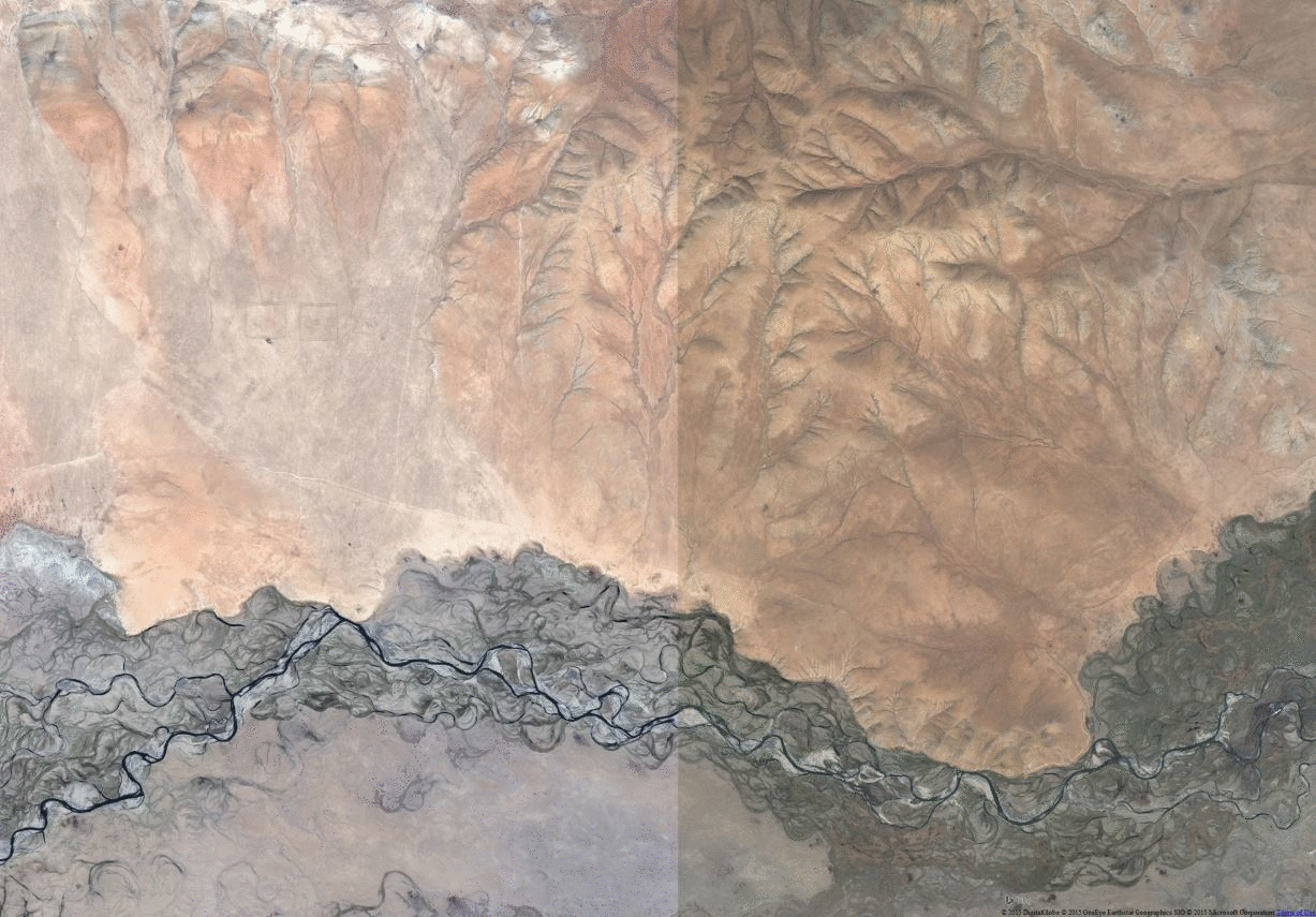
Last time we had the task to create mountain ranges polygons for the whole world. I prepared a small tutorial referred to that. Maybe you can find something…
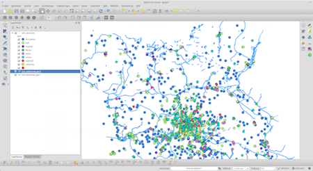
I often find myself in a situation where I want to work with large areas and datasets of OpenStreetMap data. No matter if you want to use them…
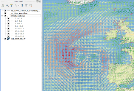
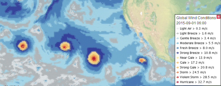
Introduction In this post we are going to look at how to get weather forecast data and display it as a layer in a desktop geographical information system…
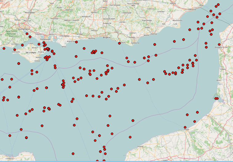
SAR images can see through clouds and in darkness, and are therefore very useful for operational monitoring of our seas. Detecting ships, icebergs, wind patterns, and oil spills…
Data Lakes has become a popular term in the Big Data community. It’s used to refer to a large storage repository and processing engine. However there is now…

Sentinel is the buzzword for a series of Earth observation missions like Sentinel-1 (Land and Ocean monitoring,launched in April 2014), Sentinel-2 (land monitoring, launched in June 2015) and…
Once in a while you may need to take an unprojected file and add coordinate parameters to the header. Assuming you use ENVI, the hard way is to…