This week it is all about topology, proximity and combining logical and spatial queries at ESRI’s MOOC. Furthermore you will get to know path analysis and what are different ways on measuring distance. This content will take aa central part in the two hands on with arcgis online.
ESRI’s MOOC infrastructure
The MOOC seems grown up and most discussions are rather focussed on topics than on infrastructure/access problems. The ArcGIS platform looks to me well structured and the combination of UDEMY and ArcGIS online is working hand in hand. Yet I can’t see the advantage of using GeoNet additionally. Unfortuantely the discussions are not very interesting to me at it is more about the perception of the MOOC. I would love to see more in-depth discussion topics.ESRI’s MOOC content
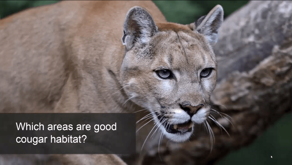
In the first lections Linda discusses the terms topology and adresses the main question on how to find suitable places. You will get some insight into topological maps, proximitiy,containment, connectivity and relationships of objects. She gives an example on recreation centers and the possibility of children to reach it. She shows two approaches based on topology (adjacency) and distance (buffer). Furthermore she once more emphasize the problem of asking the right questions and choosing the most appropriate tools to find answers.
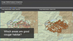
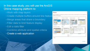
The second part is also covering the problem of site suitability analysis and asking for the best location for a distribution center by applying spatial and logical queries to create a model. Resulting in “0” and “1” values she also covers the interesting context of weighted models. Unfortunately it is not covered by the examples in ArcGIS online. Additionally: Least cost paths are an important tool in spatial analysis. Linda’s presentation isn’t going deep in this field and unfortuantely this is also not covered in the ArcGIS online example. At the end of the second example you will get to know how to publish your ArcGIS online example as a webmap. I hope this wilkl work now as some of the data provided by ESRI was not shareable in former sessions.
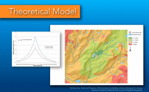
Paul Doherty from ESRI is this weeks guest lecturer and addresses the problems in SAR (Search And Rescue). In SAR the main processes are Locate, Access, Stabilize and Transport (LAST). Unfortuantely he only gives a short introduction into these points and is concentrating on a search component. He shows differnet approaches and concepts. To me it would be a great benefit to see one or two real world SAR missions supported by GIS. You can get some insight into SAR and geospatial data analysis on the site run by ESRI called mapsar.