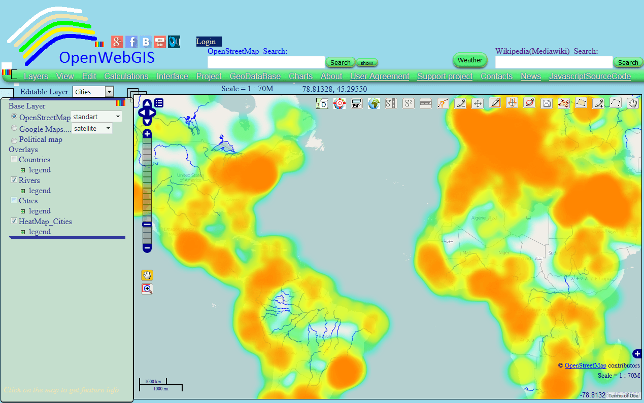
Heatmap, JavaScript, Openlayers and canvas
This article is a continuation of the article “Heatmap and Interpolation: it is easy in OpenWebGIS” about creation of Heatmap and Interpolation with the help of OpenWebGIS interface.…
We found 40 results for your search.

This article is a continuation of the article “Heatmap and Interpolation: it is easy in OpenWebGIS” about creation of Heatmap and Interpolation with the help of OpenWebGIS interface.…
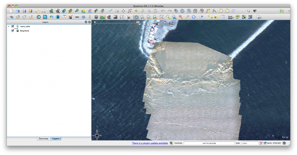
Click for previous article in this series about RasterCalc How often have you been working on a project in QGIS and wanted some nice background imagery, perhaps for…
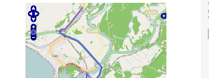
For an upcoming project I was curious about visualizing a line layer using OpenLayers. Therefore I digitized a way with googlemaps. After creating a kml with “my places”…
In the first two parts in our series on “getting to know openlayers” we concentrated on the question on layer consumption in form of basemaps and labels. We…
In the last tutorial we have created a very basic web-map using OpenLayers and one web-mapping service from OpenLayers itself. In fact using OpenLayers seems to me like…
Web-mapping is used everywhere since GoogleMaps and GoogleEarth revolutionized our topographical and geographical perception. Keeping that in mind it is useful to get some insights in web-mapping possibilities.…
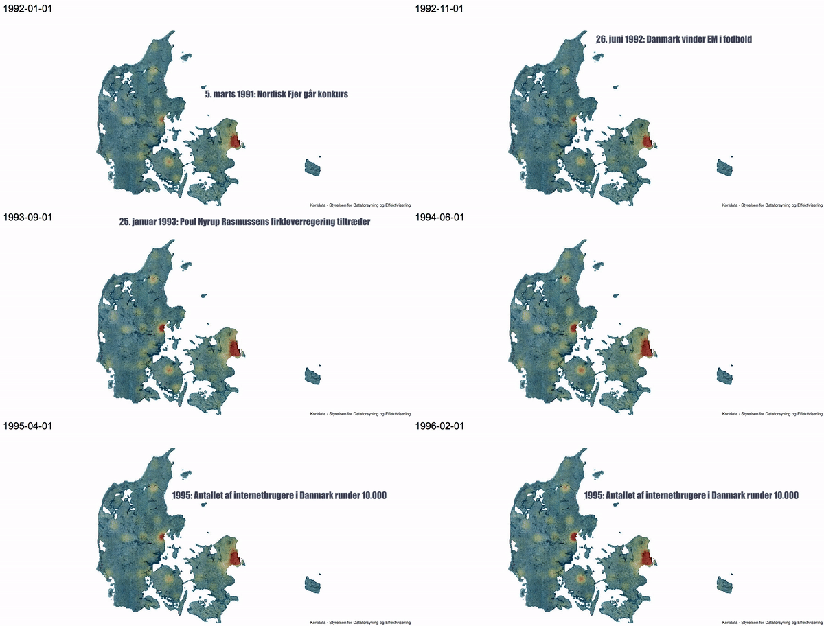
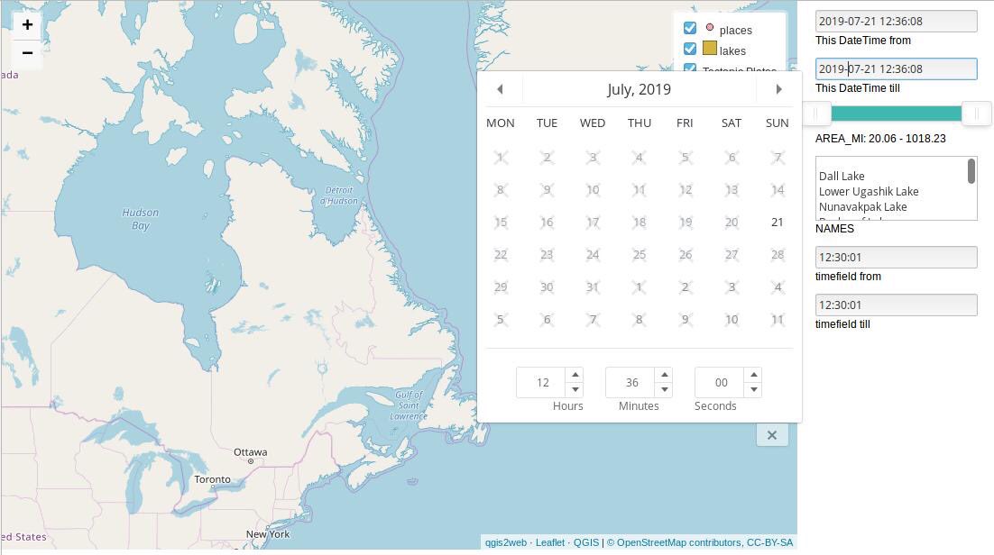
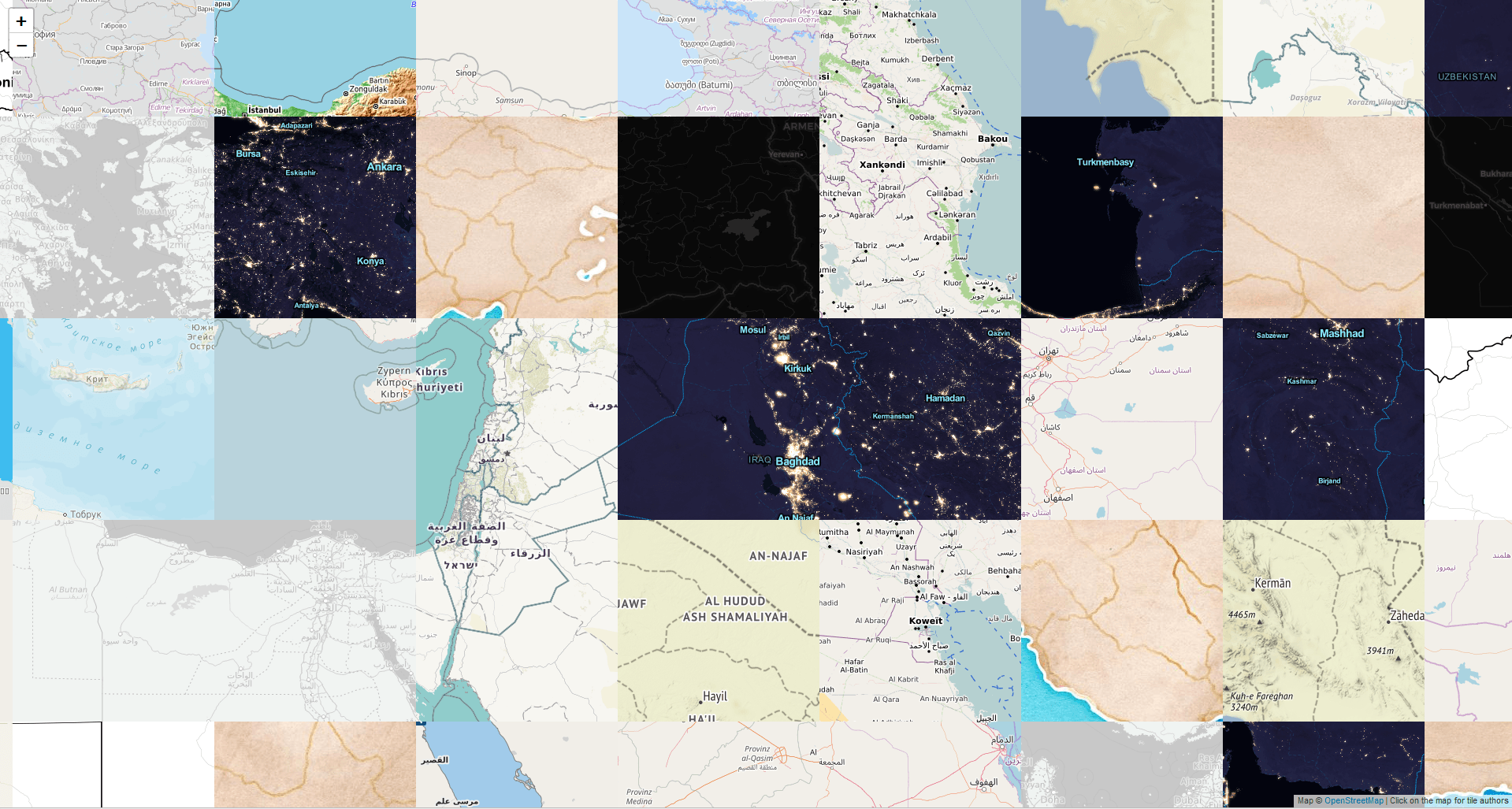
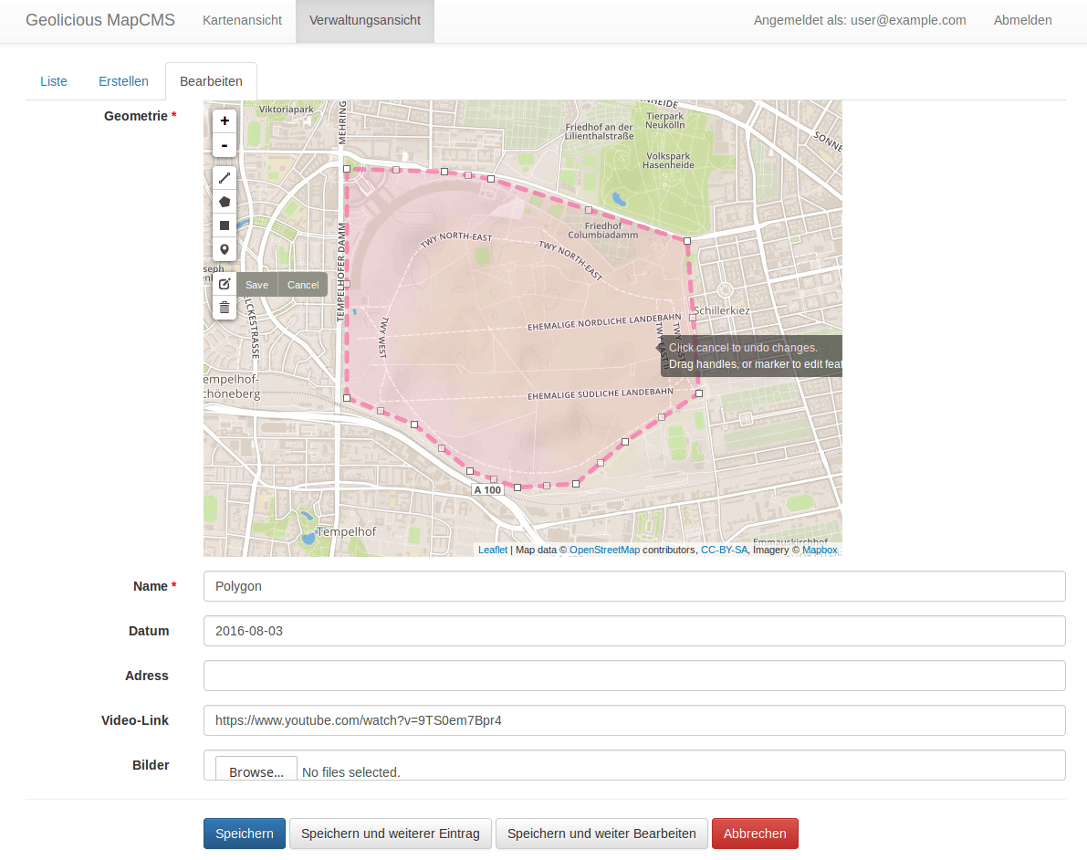
Over the last couple of years, we have seen an increase in demand and offerings of geospatial solutions in the cloud for tasks like web map creation, centralized…

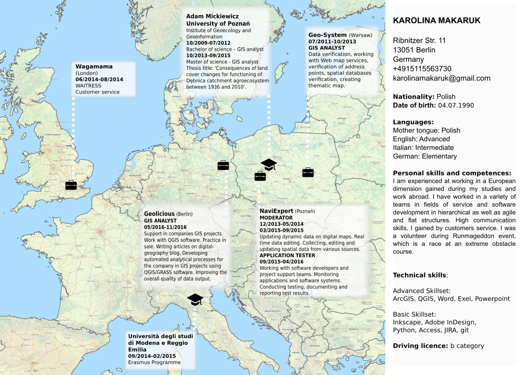
Probably everyone at least once in your life was searching for a job and had faced the challenge of creating an interesting resume. But when you start to…