Click for previous article in this series about RasterCalc
How often have you been working on a project in QGIS and wanted some nice background imagery, perhaps for a quick and dirty evaluation of your own data? I find I need this with growing frequency and a great way to do it is through the OpenLayers plugin for QGIS. Of course, if you know of a good WMS for your area of interest you can always go that route, but the OpenLayers plugin is a great addition to your QGIS toolbox.
The OpenLayers plugin is available through the official QGIS plugin repository HERE.
You can install by simply adding it to your plugins directory, as described in a previous post, after downloading and unzipping. Select the plugin (if necessary) in the Plugins->Manage plugins … menu, as seen below.
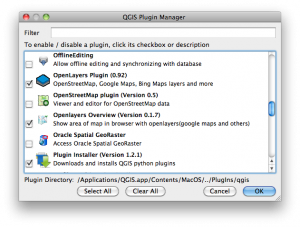
Once the plugin is selected, it can be accessed through the Plugins menu, as seen here:
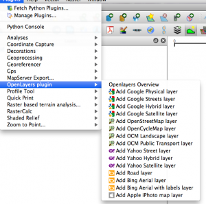
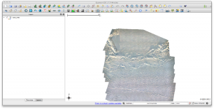
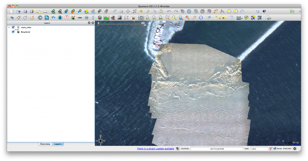
From this menu, you can select which of the available layers you want, depending on your needs. As a quick example I loaded an orthomosaic for a small area around Nome, Alaska. The imagery for this mosaic was collected using a small unmanned aerial vehicle and the mosaic was georeferenced using only the onboard GPS data. Of course, these GPS data are not always entirely reliable and I wanted to see how close the product was, so I loaded up OpenLayers and was able to quickly see that it was close enough for my needs. The initial dataset is seen below:
The same dataset after the Bing Aerial layer was added using the OpenLayers plugin.
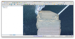
Clearly, my mosaic is reasonably close, even given the change in season. I’m finding that I use this plugin more and more in my daily workflow and I hope you find it useful too. Thanks for reading.


Wonderful, thats definitely what I was shooting for! You just saved me alot of looking around