I have been using QGIS 2.2 for most of my GIS work for about 3 months now, so I have noticed that I keep on using some plugins over and over and I really wouldn’t be able live without them. So here is a list of my favorite top 5 QGIS plugins!
Top 5 QGIS Plugins
1. OpenLayers plugin
It was love at first use for the OpenLayers plugin. It allows the user to load basemap from a different provides like Google, Bing, Yahoo, OSM (OpenStreetMap), Apple (I have NO idea what someone would want it) and Stamen.

Now I do have some issues with it sometimes, but mainly the issue is that my main map is not in Web Mercator Projection. Once I change it to the QGIS Web Mercator Projection everything is fine, and in QGIS this projection is called WGS 84/Pseudo Mercator EPSG:3857.

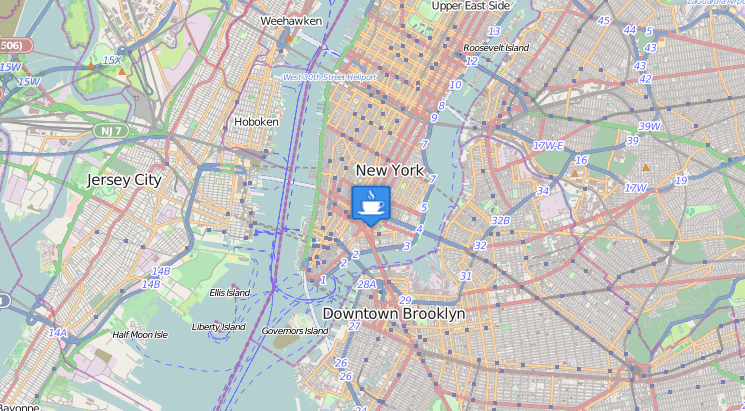
2. GeoSearch
I really like GeoSearch plugin mainly for a quick search for locations during my analysis projects, but it does a lot more than what I usually utilize it for. Apart from just simple search for a placename (from a good list of sources I might add) you can also calculate distances and calculate driving routes.
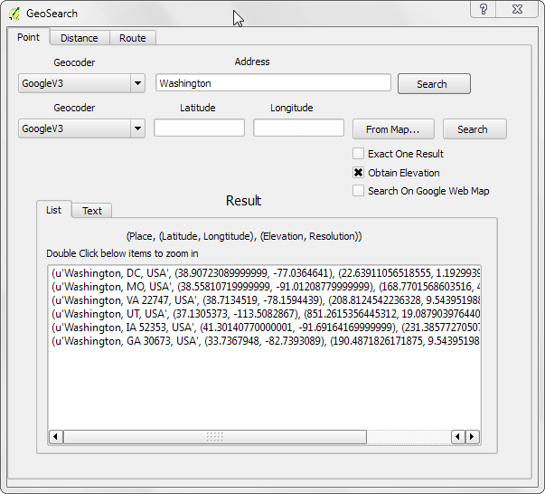
When searching for a placename in the GeoSearch tool you can specify what Geocoder you want to use and if you only want One Result. I usually like to see what other locations there are when I’m searching for a placename so I usually want to see them all (who knew ther was a Washington, UT? Well I guess people in Washington, UT, but I sure didn’t). When the results of your search are returned, they are added to your map canvas as a temporary layer.
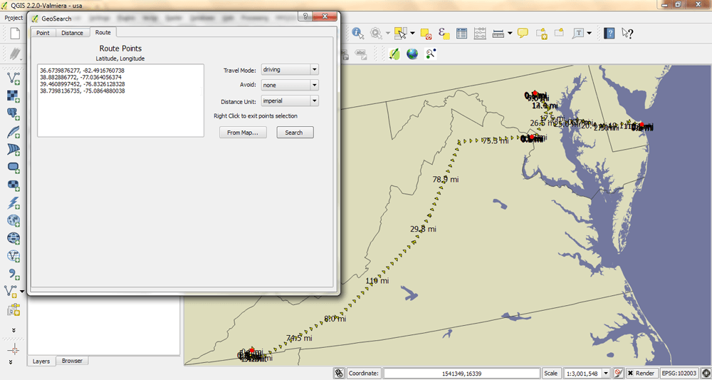
I really like the Routing option that is in this plugin. It seems to be using Google Maps for it road network, but I cannot verify this, and it gives you the options to choose your mode of transportation, and to avoid tolls/highways. This is a great plugin and I really think that is a must add plugin for anyone who uses QGIS on a regular basis.
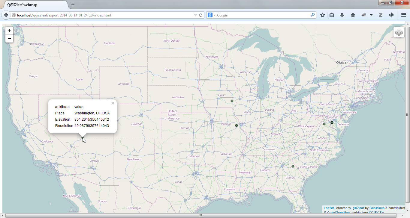
3. qgis2leaf
I know this has gotten a lot of press (link to a great write up here or here) so I will not spend that much time on it, but seriously I cannot write about QGIS Plugins without mentioning the AWESOME qgis2leaf. When I first started using Leaflet I didn’t know shit about JaveScript, but not knowing something has never stopped me from trying. So with a lot of blood, sweat, and maybe some tears, I was finally able to get a web map up. I would have LOVED to have this as an option when I was first starting to learn JS and Leaflet, but never the less, I am very happy it is around now. So, two Geo-Geek Thumbs Up to the qgis2leaf Plugin.
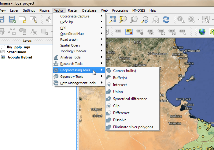
4. fTools
This Plugin is a must have to working with Vector Feature Data. This adds multiple sub-menus to the Vector menu with some tools that are very helpful for analyzing and manipulating vector feature data.
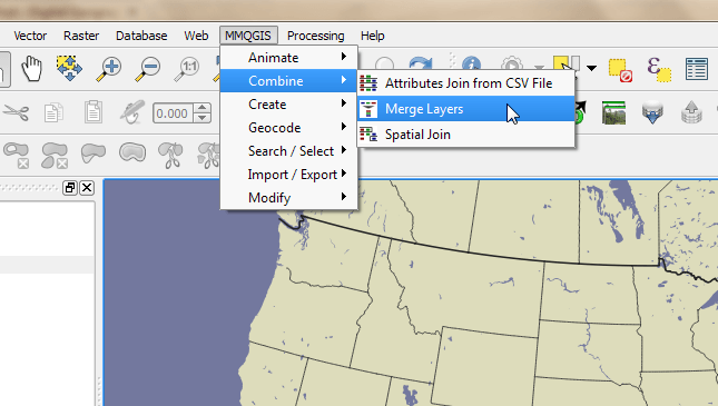
5. MMQGIS
Last but not least, MMQGIS. This plugin has a lot a very useful tools when working with vector features. The most useful tool in my opinion is the Geocoding tools. MMQGIS allows you to geocode places utilizing Google Maps or OpenStreetMaps geocoding serviece (a detailed geocoding “how-to” can be found here). This is one plugin that I always add when I install a new instance of QGIS.
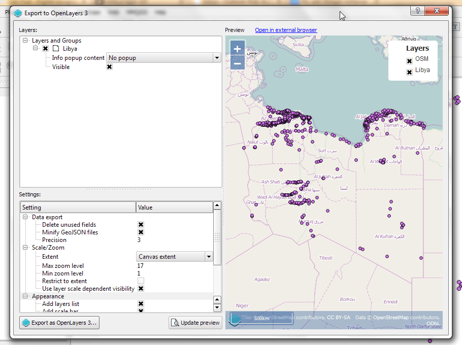
One Plugin to Watch-QGIS to OpenLayers 3
I was introduced to this plugin just yesterday, and I knew I needed to include this in my post. It has a very nice user interface and I really like the Preview option that it has. I didn’t include this as one of my top 5 plugins just because its still in active development, its only been on GitHub for 5 days. I manually installed this plugin from the code obtained from GitHub (link here) and not the QGIS Plugin Manager (and if you do not know how to manually install plugins then here is a link).
I’m really excited about how developers are finding new ways to extend the functionality of QGIS. Happy Mapping!

I loved the CadTools plugin for the possibilities to work with angles and parallel creation of lines… maybe an alternative for others to look at as well: http://plugins.qgis.org/plugins/cadtools/
[…] lebt durch seine Erweiterungsmöglichkeiten. Unser Autor Nick hat in seinem Artikel seine Lieblings-QGis Plugins einmal vorgestellt. Alle Plugins finden sich in QGis unter dem Punkt […]
About the routing function is supported by the Google Maps.
My work is just building a suitable GUI to introduce the Google Maps features into the QGIS.
And where we can find your work?
https://github.com/walter426/QgisPlugin_GeoSearch
One Plugin to Watch-QGIS to OpenLayers 3 is fantastic … like my video: http://youtu.be/BQKjNcEPsk8
[…] post Top 5 QGIS Plugins appeared first on Digital […]
What I realy like is the Georeferencer plugin
For some reason, the openlayers plug-in on my QGIS 2.4 Chugiak is accessible from the Web Menu not the Plugins..or is that how it is supposed to be on this version?