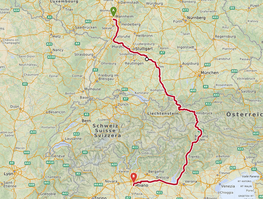
openrouteservice v4.5 is released
We’re happy to announce the release of v4.5 of openrouteservice, which exposes unique services for two of our core API’s, routing and isochrones. Now you can restrict routes…
We’re happy to announce the release of v4.5 of openrouteservice, which exposes unique services for two of our core API’s, routing and isochrones. Now you can restrict routes…

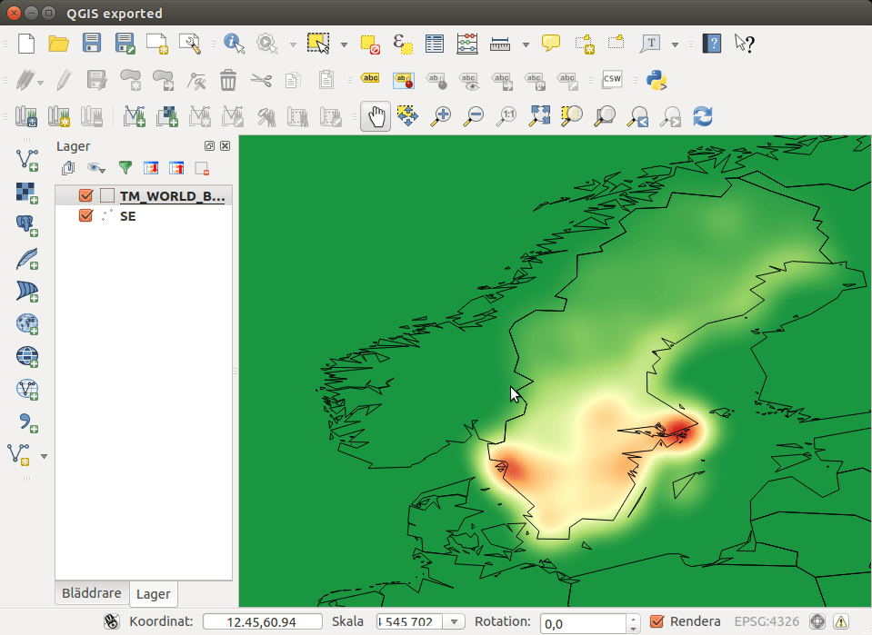
On 24th of February, the QGIS developers have officially released QGIS 3 (codename “Girona”). It is the third major version of the free and open source cross-platform GIS…


I was reading an article entitled “China, the megalopolis of 110 million inhabitants that impresses the world” on a popular online journal (see article) and after a dozen…
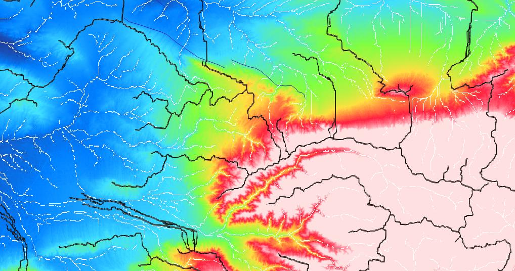
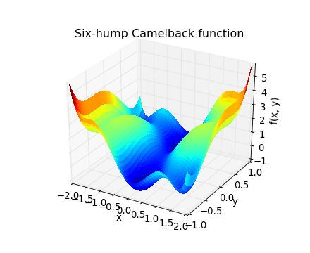
Many of us use digital elevation models (DEMs) for a whole bunch of different applications. There are some standard products which everyone should know, like SRTM1, SRTM3, ASTER,…


There’s a lot of great stuff going on in the GIS community, both in proprietary software and Open Source as well as online services like MapBox, Mapillary, CartoDB…
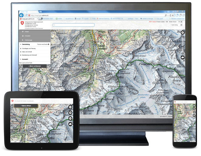
A priorized project of eGovernment Switzerland Usage and exchange of geodata is fostered by geo.admin.ch in a significant way. The Federal geoportal is operated by the Federal Office…
At least for Linux…[update: and Windows!] For Windows and Mac it’s just a question of time…
