reproject and filetype change in python/pyqgis for QGIS plugin
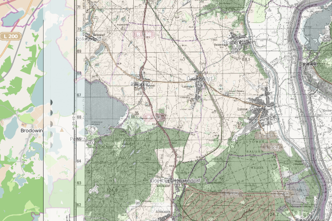
In my current work on the qgis2leaf plugin I had the idea to place raster data on a leaflet map as an image overlay. With this in mind…
QGIS on Ubuntu Trusty Tahr I’ve have started working nearly 100%, outside of work, in Ubuntu. I was running Ubuntu 13.10 so naturally I decided to upgrade to 14.04. My experience…
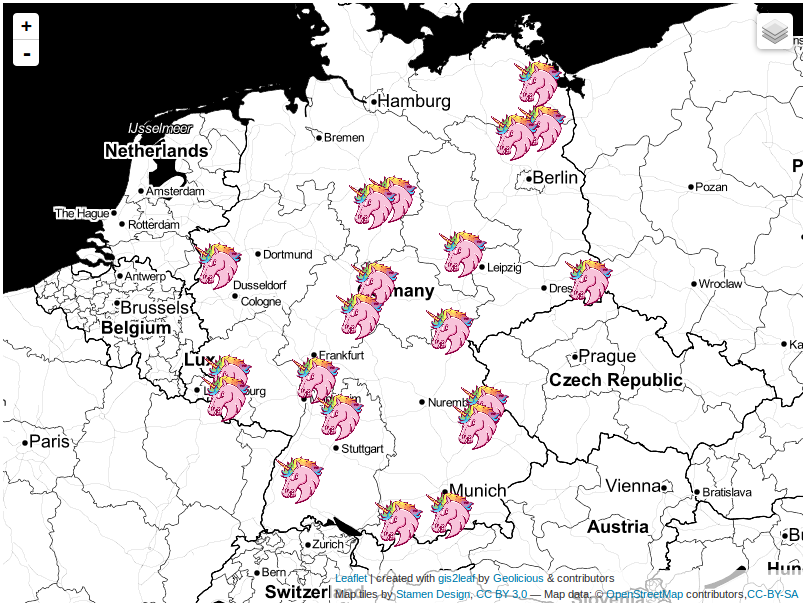
The last post about our famous qgis2leaf plugin showed a glimpse of what it is capable of: exporting all your features from a QGIS project to a working…
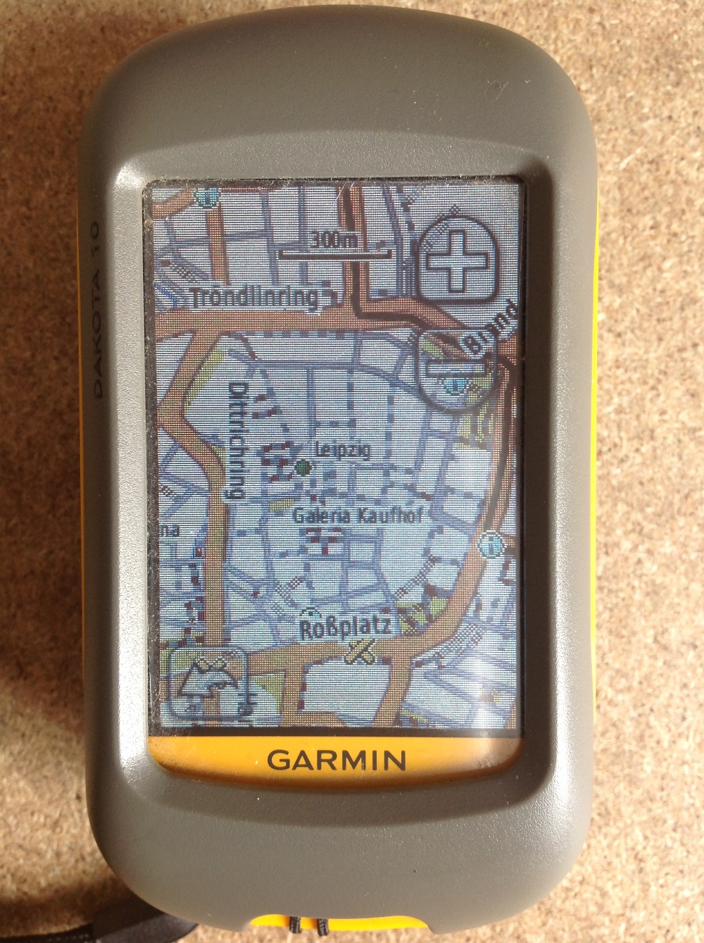
Since most people working with digital-data they are always interested in obtaining their own data using a Global Positioning System (GPS). Therefore I’ll give a short introduction for all…
The undercover GIS queen “Underdark” a.k.a. Anita Graser came up with this headline today and we had seen some little insight in the upcoming QGIS release already. So…
Folks, have you ever questioned yourself how to show a shapefile or your own geotiff on a webmap as a WMS or WFS? MapServer is one thing to…

“Big data is coming!” Everyday you can read this in current blogs and magazines. Geotagging is one of the special-interest issues of digital-geography and so I want to…

FOSSGIS conference 2014 Hi folks. Today I received a mail: “The FOSSGIS-conference is the largest German-language conference for Free and Open Source Software for GIS and Free Geodata…
Everyone working with data knows the problem: You found some interesting data for your journalistic project or statistics for preparing a nice map, but the data comes messy…
I just found a nice web interface for converting Shapefiles to geoJSON, the preferred format of vector geodata on the web. And yes, you can also convert back…

One thing about working with synethic aperture radar (SAR) data is that regular image processing functions are often unsuitable. This is because most processes were design to deal…
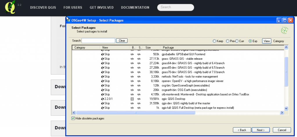
Today QGIS 2.0 was officially released and we will come up with several tutorials in the next weeks. First of all: the installation. As we are fans of…