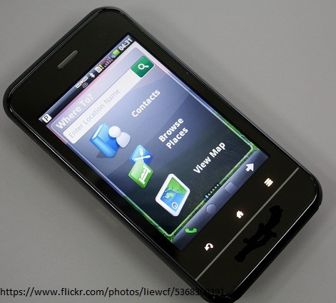
Pros and Cons of using Smartphone as a GPS Tool
In a statistical report entitled US Smartphone Use in 2015, it revealed that some 88 percent of American smartphone owners use their handset as a map or navigation…

In a statistical report entitled US Smartphone Use in 2015, it revealed that some 88 percent of American smartphone owners use their handset as a map or navigation…
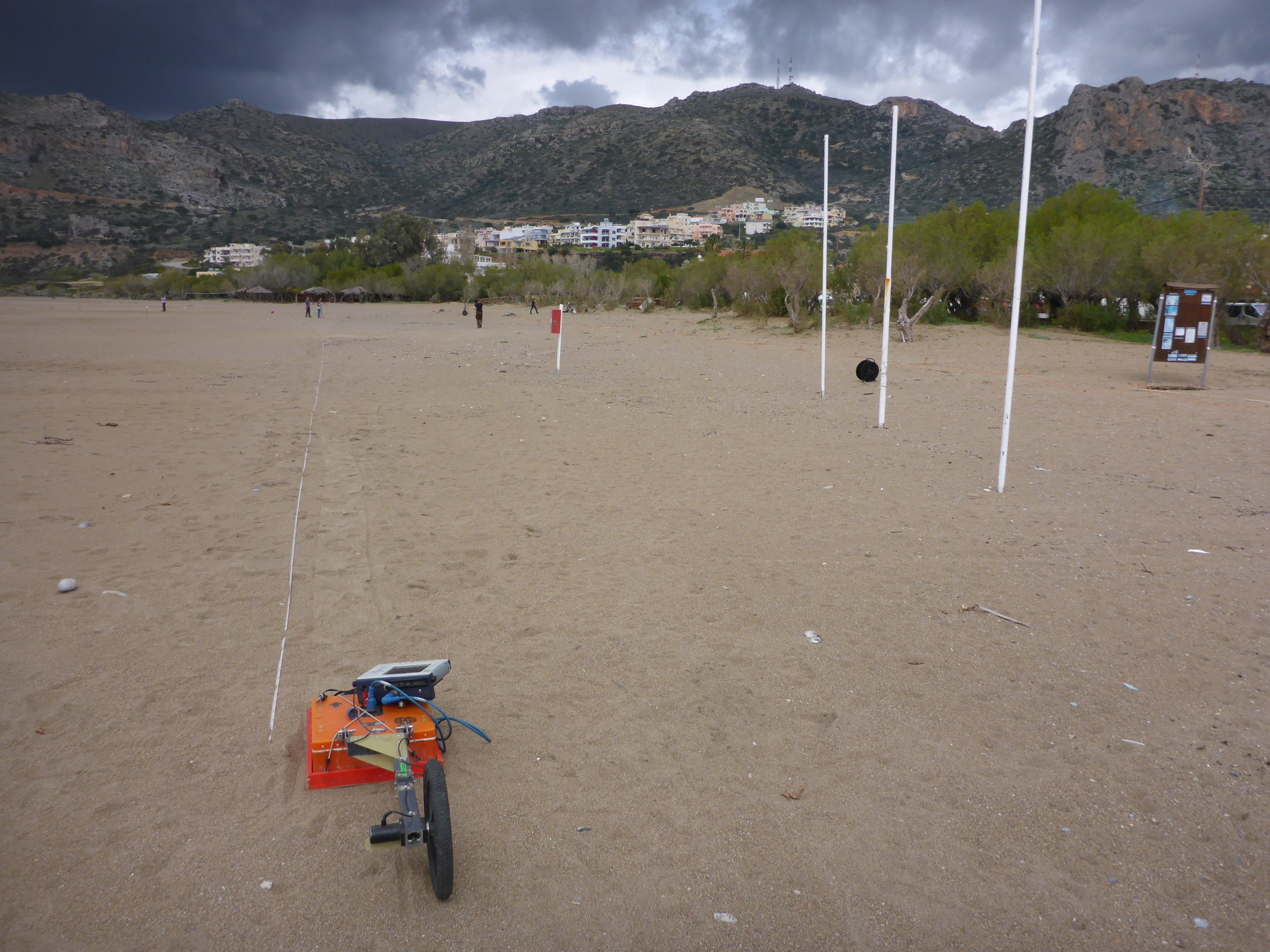
When you’re in the field you want to collect as much data as possible using all the expensive and heavy equipment you brought with. For instance, geophysical profiling…
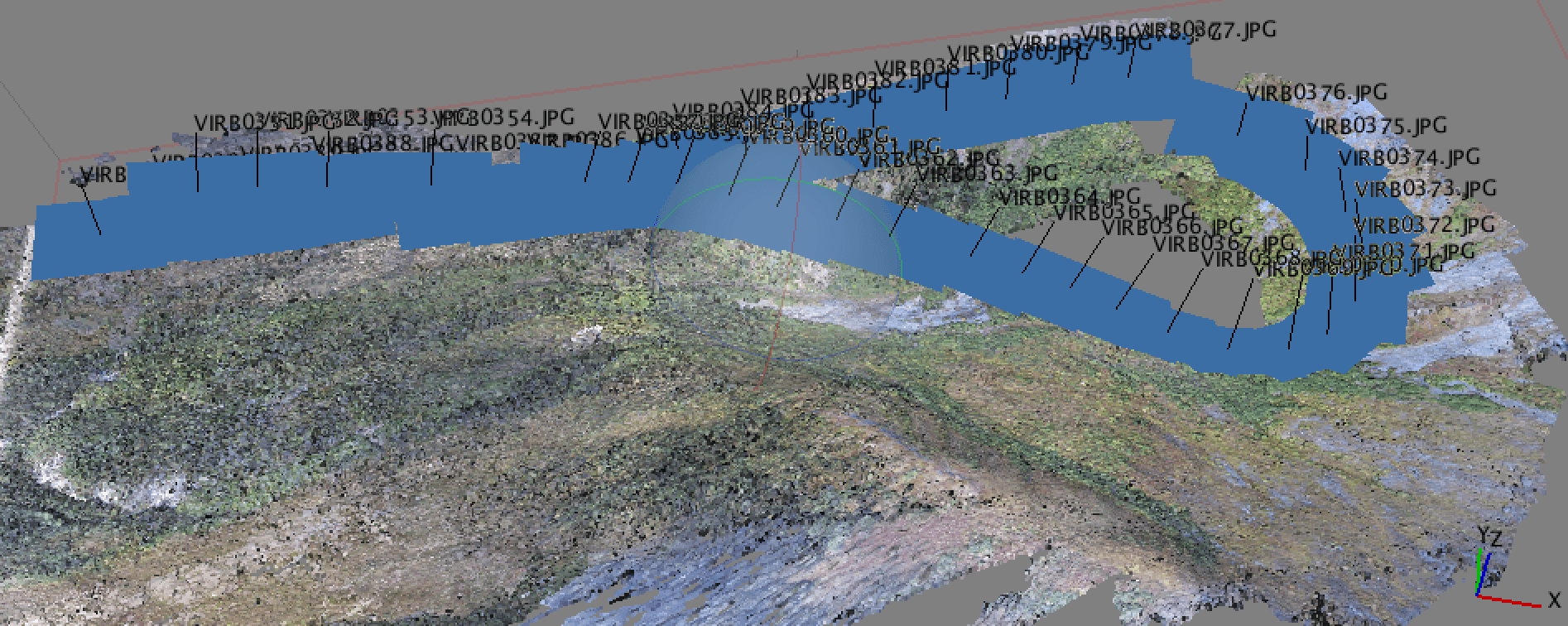
Why Geotagging? In a recent post, I discussed the new drone that I got for the holidays and a bit about how I was using it for…
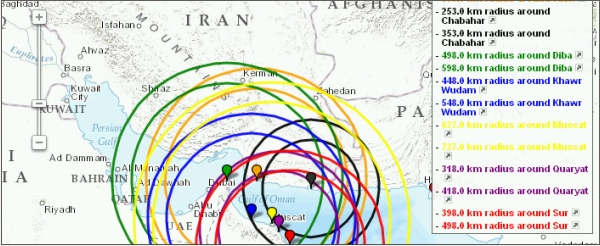
I looked for a program to draw circles of a pre-defined radius around some points on earth I had the coordinates from. A quick search returned the website…
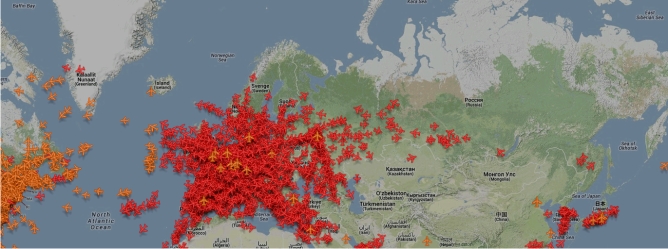
I have to admit that I don’t know since when the Zugradar (train radar) of the Deutsche Bahn (DB) is online, but I found it per accident and…
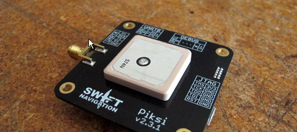
So many of you probably know that there are some pretty amazing social crowdfunding projects hosted on kickstarter, startnext or indiegogo and we also started one campaign that…
I have often wondered what could be the purpose of these mapping 3D models more and more accurate for major cities of the world (eg, Monaco, Geneva or Dubai).…