geojson.io: edit geospatial data online- an example
As Daniel already wrote: There is an awesome tool available online. With geojson.io you will be able to add, edit and remove spatial data used maybe in webmapping…
As Daniel already wrote: There is an awesome tool available online. With geojson.io you will be able to add, edit and remove spatial data used maybe in webmapping…

So I’ve checked our twitter time line this morning and came across this nice little line: @willoxh tweeted that there is a new version of qgis which enables…
As I have already covered the creation of a layer stack using the merge function from gdal and I’ve found this great “plugin” OrfeoToolBox (OTB) we can now…

Dear GRASS GIS: Happy birthday! There has been a lot movement in the last decades and you enriched our workflows and our way of spatial thinking. There were…
Most of you guys are aware of one or two GIS systems. But what about the functionalities of others? How can you compare these? @Dragons8mycat has done some…
This week a new 5 weeks course will start at coursera. Coursera is an online learning platform that enables people from all around the world to learn and…
In this tutorial I’ll show you, how to combine text information with spatial information using the open source software QGis. You can easily download and install QGis from…
When I was starting with Ubuntu I was struggling with getting QGIS to run on Ubuntu. Actually it is not a big deal despite of adding a repository…
Previous Posts in this series QGIS Plugin – RasterCalc QGIS Plugin – OpenLayers So, this will be a pretty quick post on one of my most used…
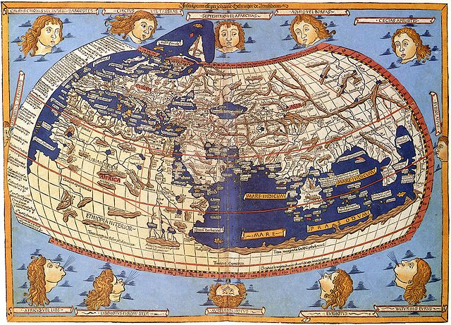
Map Projections The question of map projections and how to reproject data is one that comes up often in discussions with both experienced colleagues and those new to…
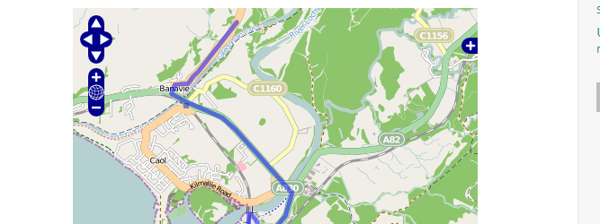
For an upcoming project I was curious about visualizing a line layer using OpenLayers. Therefore I digitized a way with googlemaps. After creating a kml with “my places”…