ESRI’s MOOC Going Spatial: Week 3
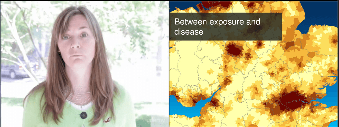
Area, counts and data. This week became more tricky than ever. You faced the concepts of density and chorophlet maps. You were confronted with the MAUP and with…


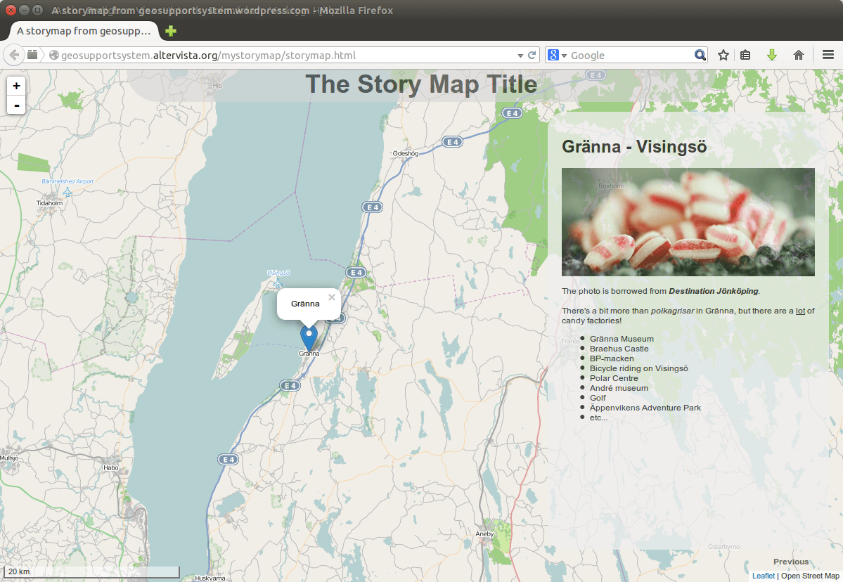
Have you seen “the story maps” created on the ESRI website (http://storymaps.arcgis.com) or for that matter from http://storymap.knightlab.com/ or http://mapstory.org/. They are all frameworks for you to create…
The last week one headline hit the floor of some GIS-blogs in the US: Jack Dangermond, the founder of GIS -ahm I mean ESRI- pledged about $1 billion…
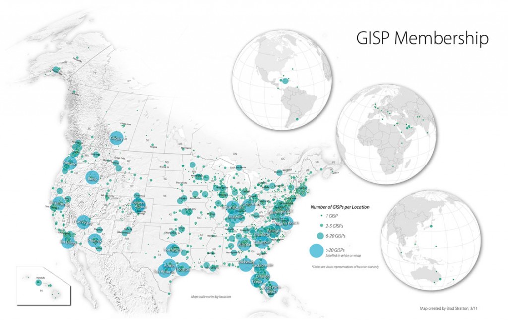
“A GISP is a certified geographic information systems (GIS) professional who has met the minimum standards for ethical conduct and professional practice as established by the GIS Certification…
You probably already referenced maps with written coordinates but using photos or images is a little different as you need some characteristic points so you can control the…