
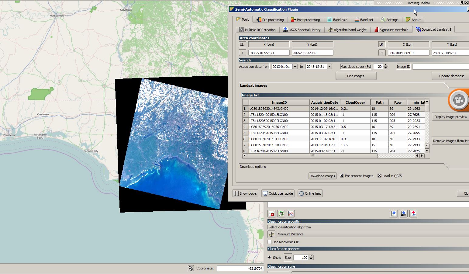
Copernicus, Sentinel and your favourite GIS
The Copernicus Program provides an interesting alternative data source for your work with Landsat data… Sentinel images: Copernicus will deliver an unprecedented volume of free data, provide new…
The cloud has made it easier to process large amount of data, and satellite imagery processing benefits from cloud processing too. One of the cloud services that offers…

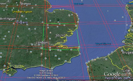
Sentinel is the buzzword for a series of Earth observation missions like Sentinel-1 (Land and Ocean monitoring,launched in April 2014), Sentinel-2 (land monitoring, launched in June 2015) and…
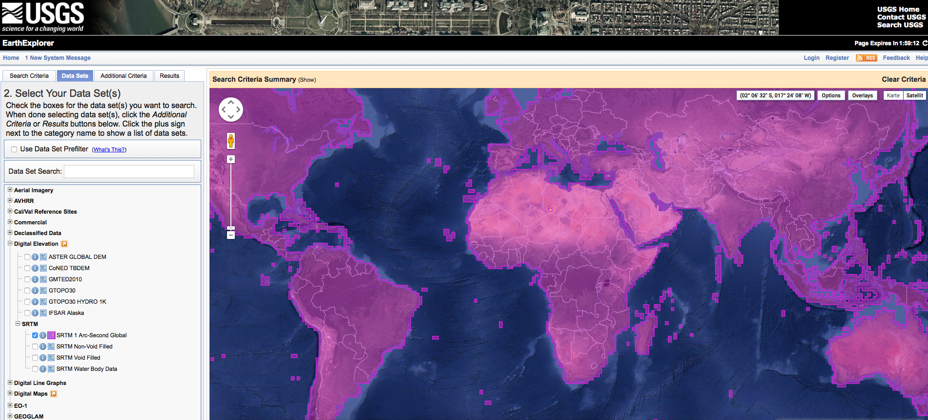

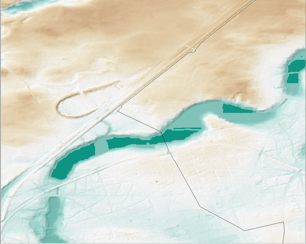
< p align=”justify”>Digital elevation models (DEMs) exist today for the entire globe with consistent quality. Improvements in sensors and data processing give a clue that in the future…