
QGIS and basemaps: QuickMapServices
To work in QGIS is very often much more convenient if you can use a basemap for your data. In the past we used and promoted OpenLayers plugin…
We found 314 results for your search.
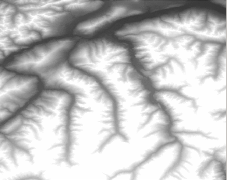
Last time we had the task to create mountain ranges polygons for the whole world. I prepared a small tutorial referred to that. Maybe you can find something…
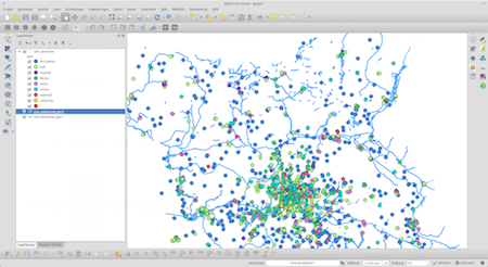
I often find myself in a situation where I want to work with large areas and datasets of OpenStreetMap data. No matter if you want to use them…
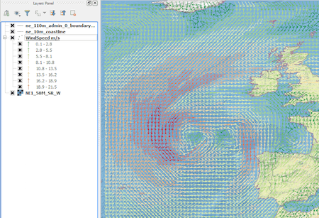
Introduction In this post we are going to look at how to get weather forecast data and display it as a layer in a desktop geographical information system…
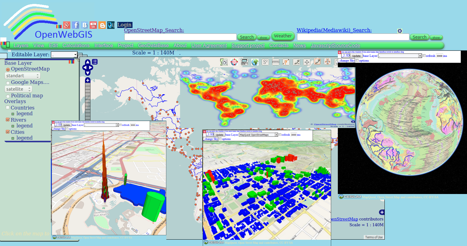
Perhaps you have already used in your work OpenWebGIS or just have seen it or read about it. Due to this system exists since 2014. But we will…
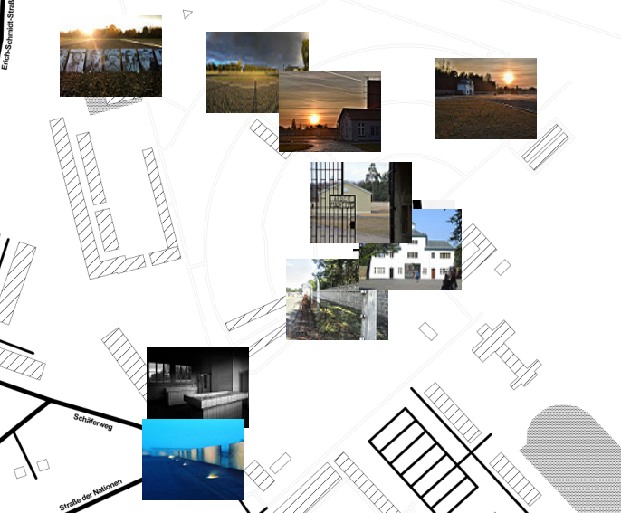

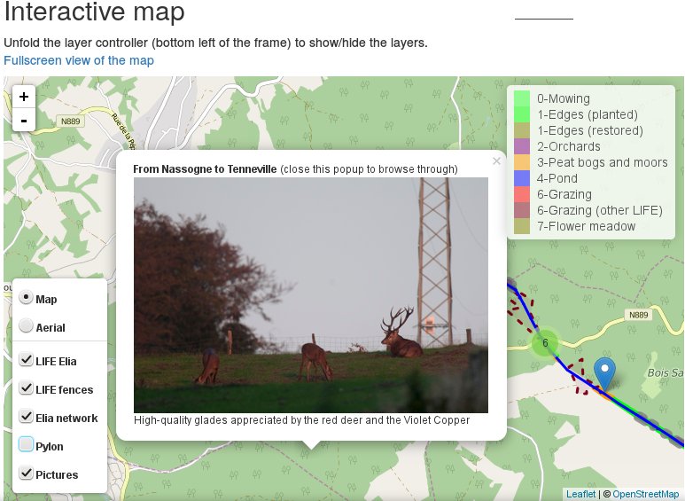
The goal of this post is to explain, based on practical examples from my professional activities, how I use QGIS, its plugin photo2Shape and the processing toolbox, together…