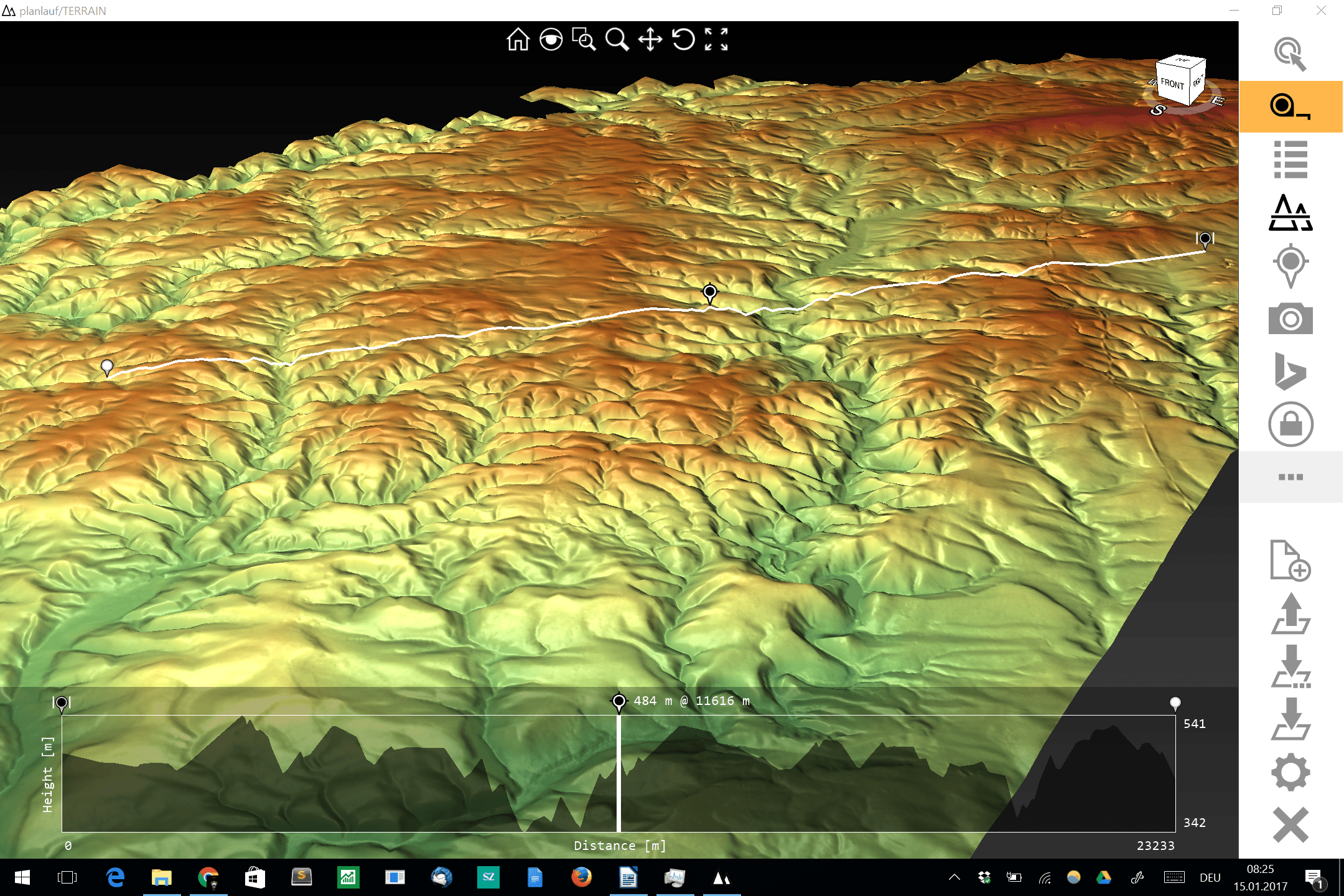
planlauf/TERRAIN – a lightweight 3D DEM viewer for daily usage
The visualization and interpolation of 3D terrain (point) data (DEM or DOM) could be a hard task for current GIS software and small to midsize hardware. One thing…

The visualization and interpolation of 3D terrain (point) data (DEM or DOM) could be a hard task for current GIS software and small to midsize hardware. One thing…
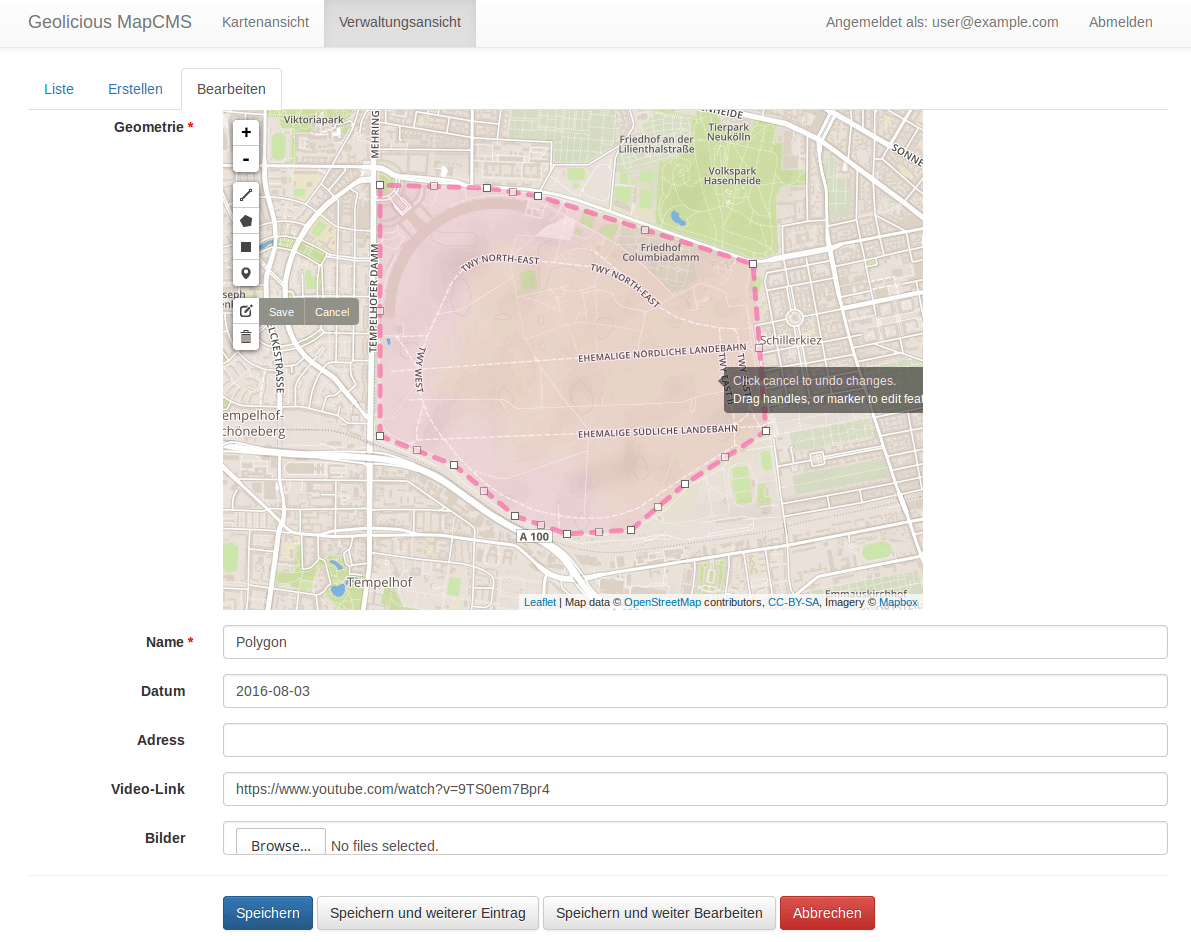
Over the last couple of years, we have seen an increase in demand and offerings of geospatial solutions in the cloud for tasks like web map creation, centralized…

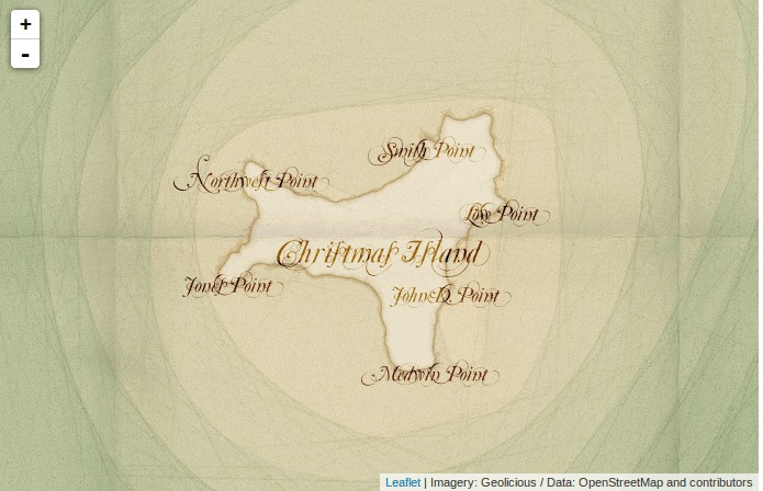
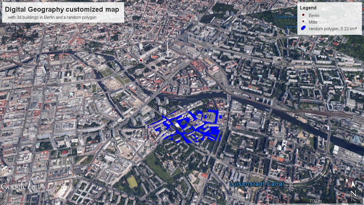
Google recently made an announcement that left me very happy: Google Earth Pro, the enhanced version of the world’s most popular digital globe, is now available for free.…
Everyone working with data knows the problem: You found some interesting data for your journalistic project or statistics for preparing a nice map, but the data comes messy…
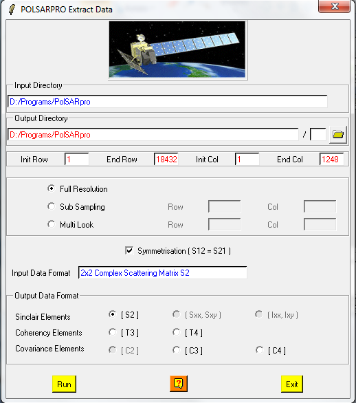
In this post I’ll take you through some simple functions in the freeware polarimetric SAR processing package, PolSARPro. The software is distributed by the European Space Agency (ESA)…

One thing about working with synethic aperture radar (SAR) data is that regular image processing functions are often unsuitable. This is because most processes were design to deal…

< p align=”justify”>Digital elevation models (DEMs) exist today for the entire globe with consistent quality. Improvements in sensors and data processing give a clue that in the future…

So I’ve checked our twitter time line this morning and came across this nice little line: @willoxh tweeted that there is a new version of qgis which enables…
Today I want to share a Python script that I wrote to plot some lab data against the core depth it was taken from. I know its not…