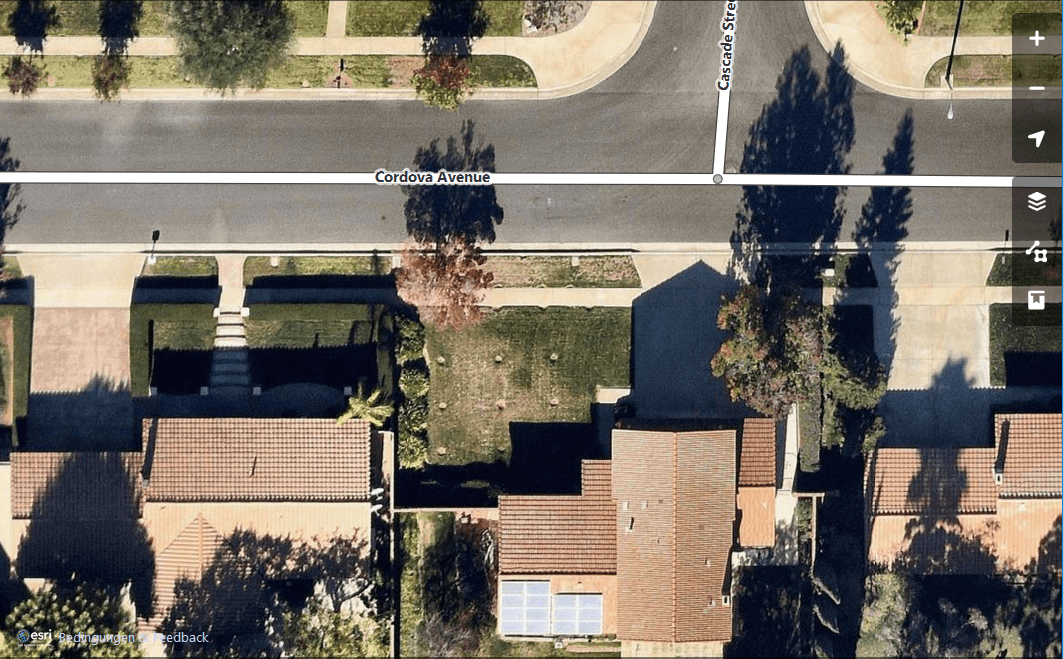
Short Announcement: ESRI World Imagery Basemap now open for OSM Mapping
If you digitize features for OpenStreetMap you might have used Landsat data or the Bing basemap. Now we do have one other source for our armchair mapping approach:…
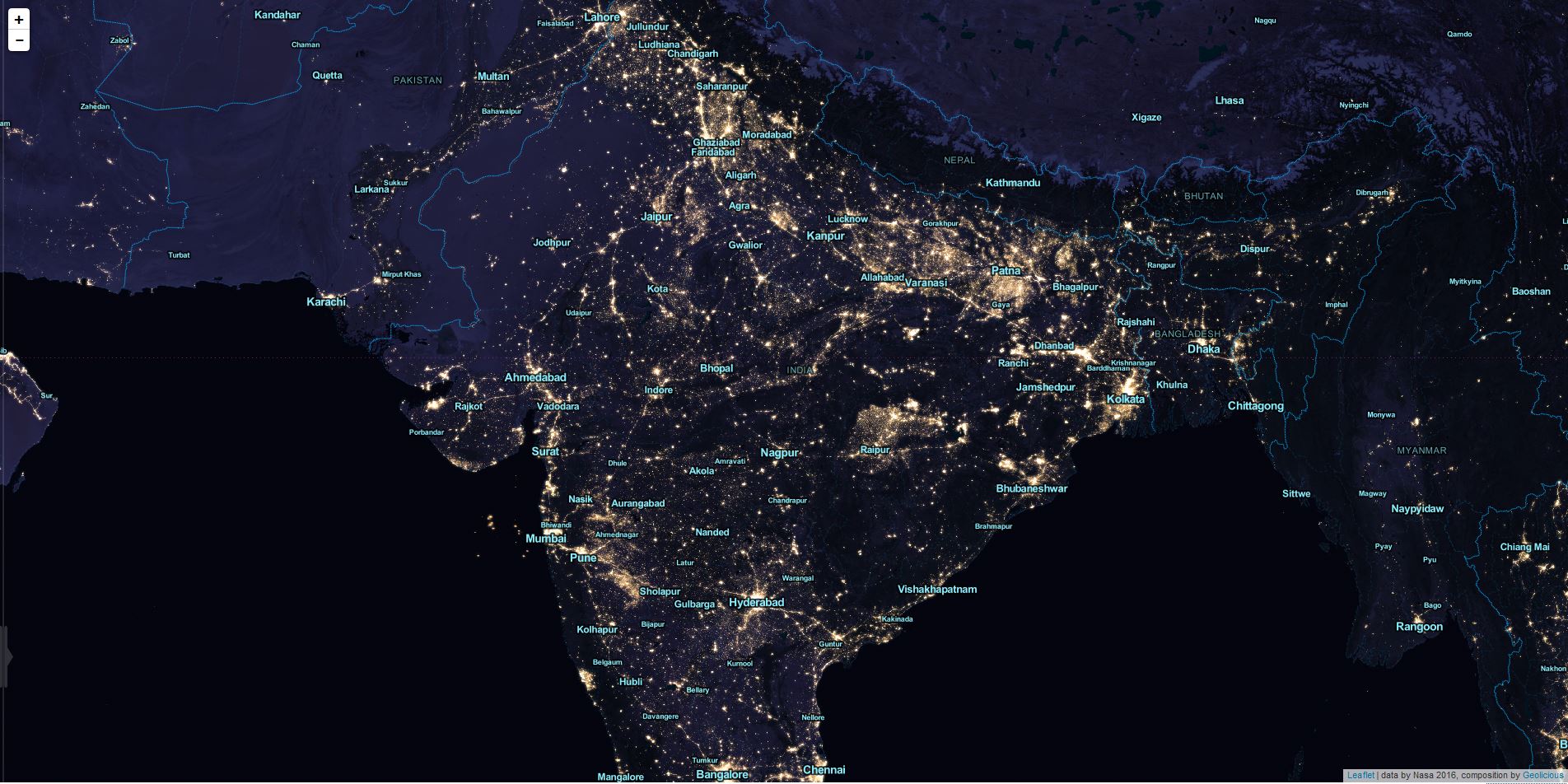
Tiled map layers are an important part of the digital mapping stack, since Google and others introduced their slippy maps quite some time ago. There’s a huge ecosystem…
I often find myself in a situation where I want to work with large areas and datasets of OpenStreetMap data. No matter if you want to use them…
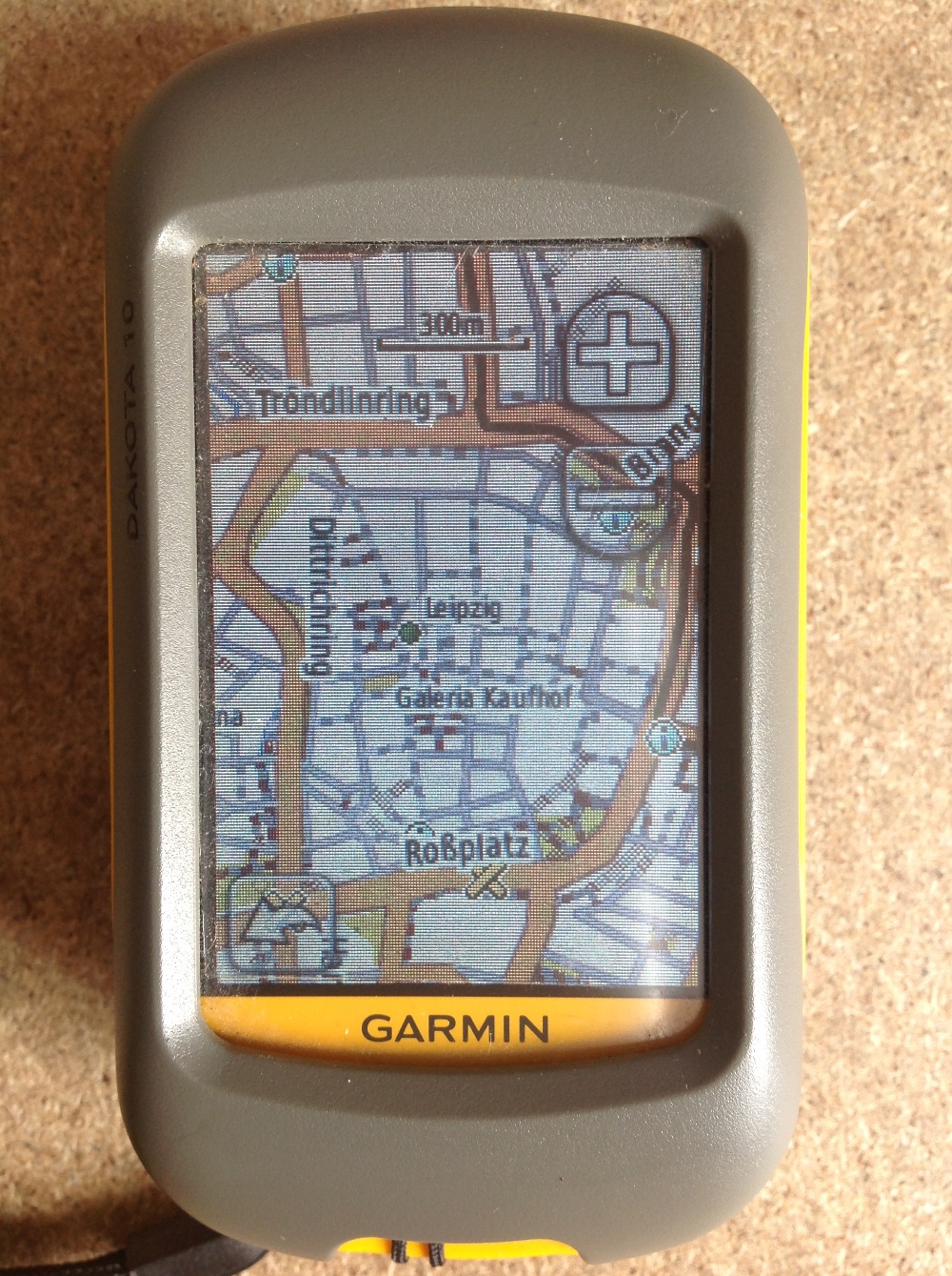
Since most people working with digital-data they are always interested in obtaining their own data using a Global Positioning System (GPS). Therefore I’ll give a short introduction for all…
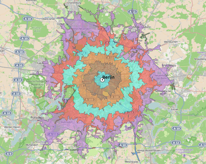
In a recent post I’ve described a way to geocode in a Google Spreadsheet quite easily. Now let’s move a little bit away from this crazy web 2.0…
OpenStreetMap ist ein wunderbares Projekt, dass ähnlich dem Wikipedia-Prinzip arbeitet und eine freie Weltkarte erstellen will. Damit ist das Projekt auch schon ganz gut fortgeschritten. Wer sich über…
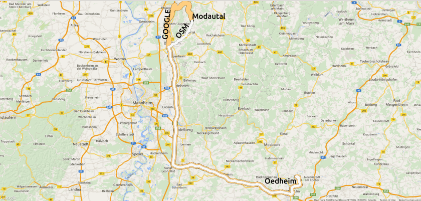
For an upcoming project I was curious about visualizing a line layer using OpenLayers. Therefore I digitized a way with googlemaps. After creating a kml with “my places”…