Topography and Bathymetry: GDAL to the rescue
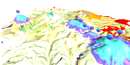
What’s GDAL? GDAL is the Geospatial Data Abstraction Library, it’s a library to transform raster and vector data and it’s the Swiss Knife of GIS. Topography and bathymetry…

What’s GDAL? GDAL is the Geospatial Data Abstraction Library, it’s a library to transform raster and vector data and it’s the Swiss Knife of GIS. Topography and bathymetry…


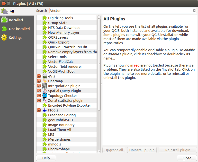
QGIS on Ubuntu Trusty Tahr I’ve have started working nearly 100%, outside of work, in Ubuntu. I was running Ubuntu 13.10 so naturally I decided to upgrade to 14.04. My experience…