Short Announcement: PlayMapsCube using Three.JS
We all played around with this little thing: wood labyrinths with one or many little balls called a “Ball-in-a-maze puzzle”. The goal was to find a path through…
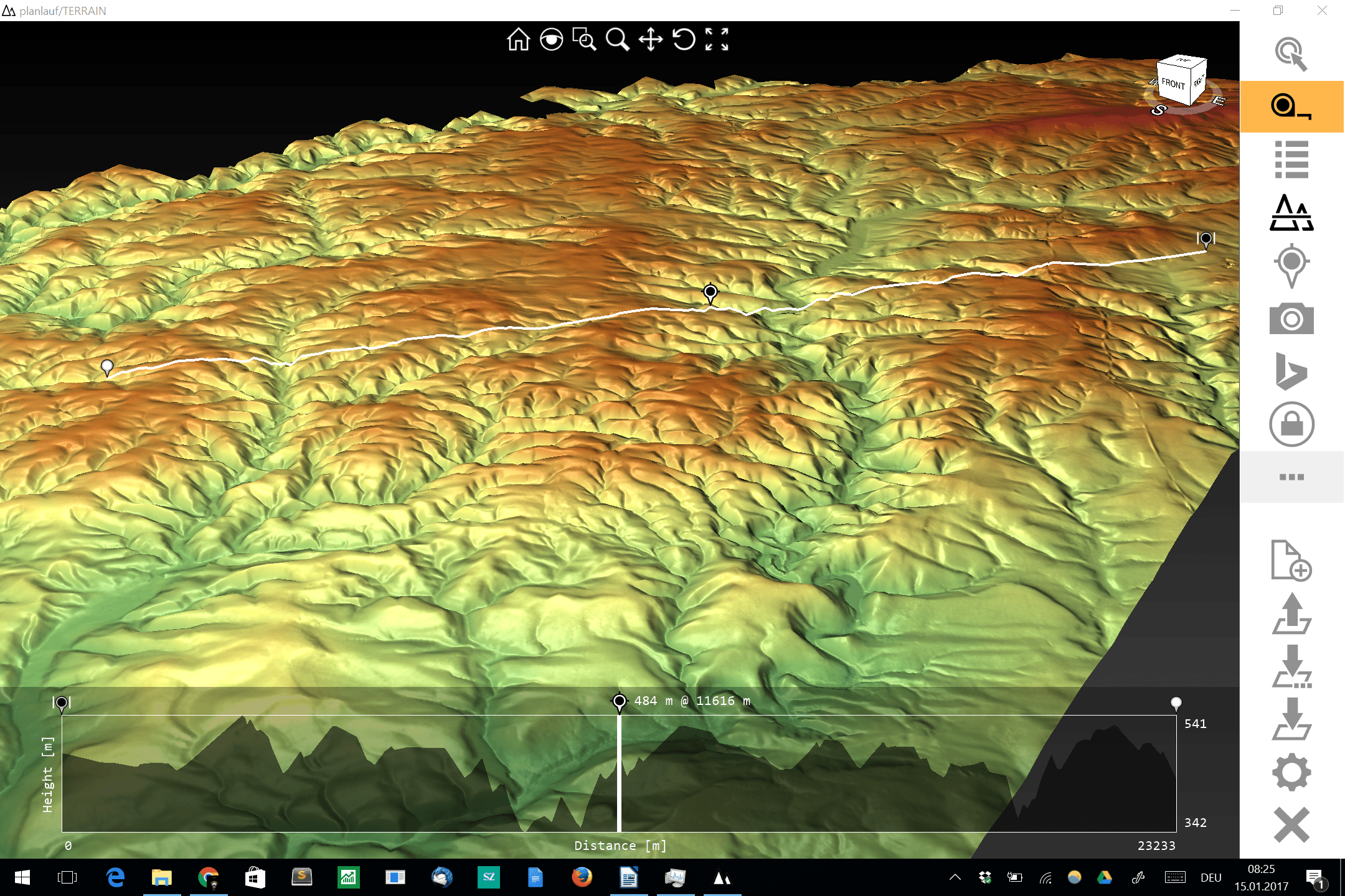
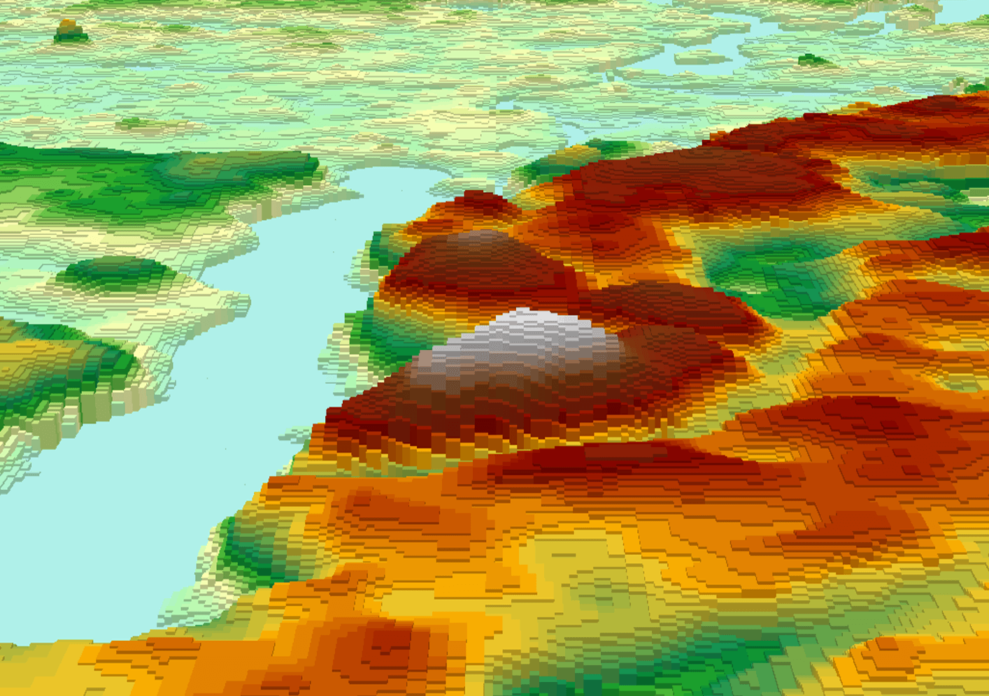
The visualization and interpolation of 3D terrain (point) data (DEM or DOM) could be a hard task for current GIS software and small to midsize hardware. One thing…
Mapalomalia lets geologists create and visualize 3D geological models from their browsers. It’s a free to use geological modeling platform. I hope people will use it to convey information about…

3D is soooo cool… Okay let’s be honest: the exciting times of Second Life are gone and the Oculus Rift is still not in sight in the end-user…
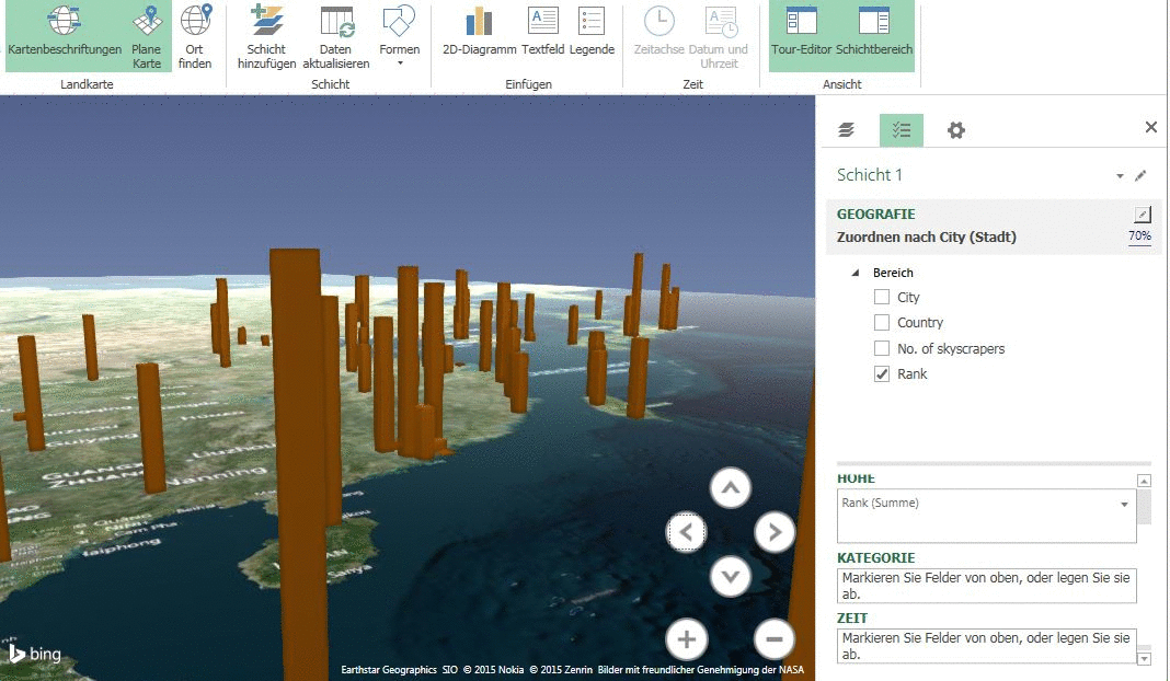
I have often wondered what could be the purpose of these mapping 3D models more and more accurate for major cities of the world (eg, Monaco, Geneva or Dubai).…