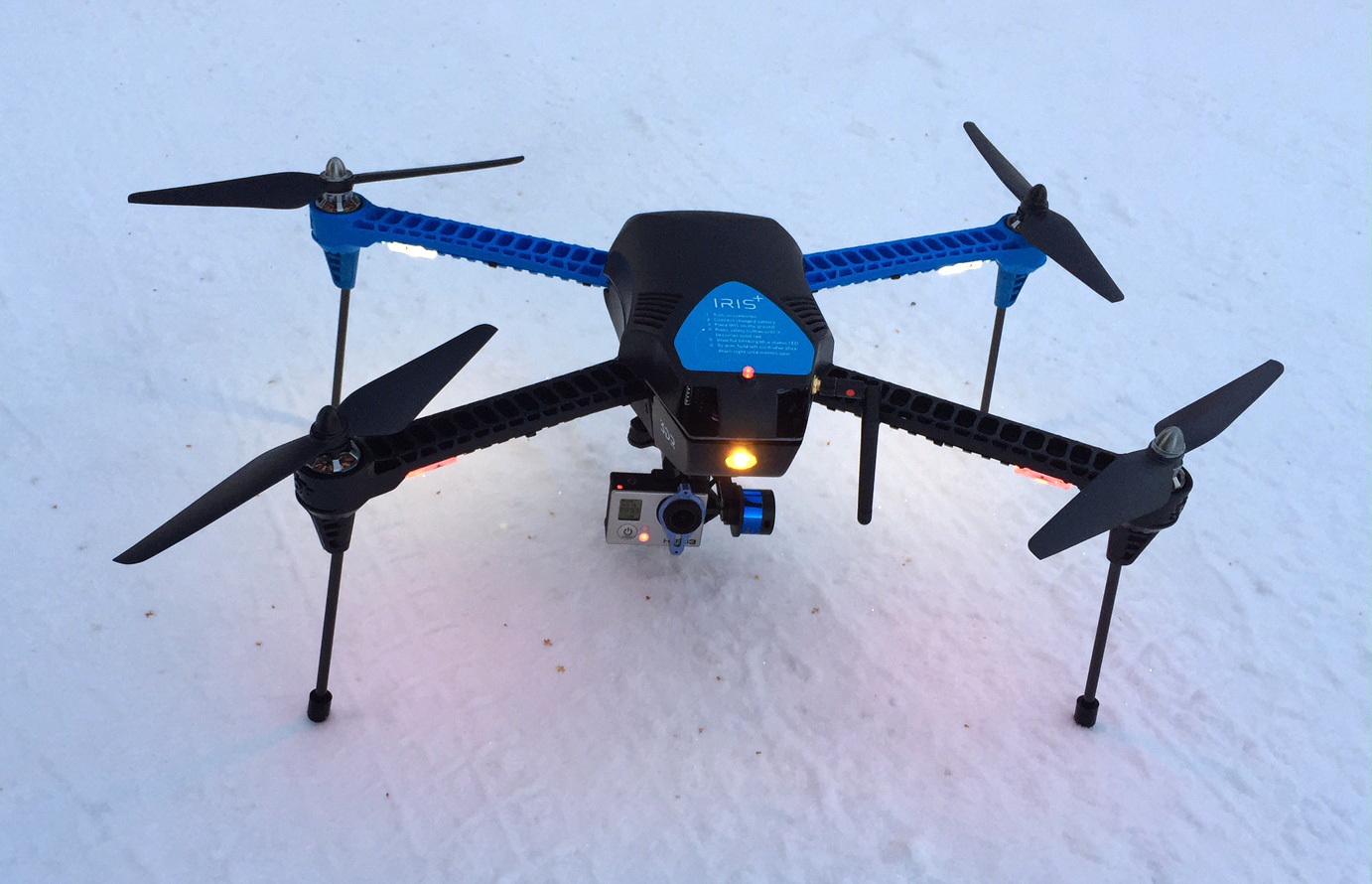
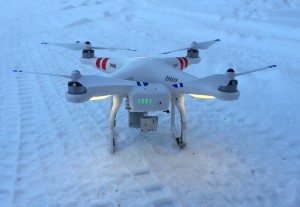
So, by now some of you have opened a holiday gift and it turned out to be a drone. I was fortunate enough this year to get a 3DR IRIS+ in my stocking. After a few flights I wanted to put together a quick note comparing this with another popular consumer drone, the DJI Phantom 2 Vision+ (P2V+). I have a P2V+ that I use at work and put quite a bit of thought into what I would get for personal use. Hopefully this will be of use to readers who may be considering the purchase of a drone this year. Allow me to begin by saying that both are great products and work well for hobby or possibly commercial work (if you live outside the U.S. 🙁 ).
A drone at home
My interest in drones primarily revolves around mapping applications using low-cost cameras and structure from motion algorithms. Drones have a great future in a variety of small-scale mapping applications, including hazard mapping, precision agriculture, long-scale geographic and geological monitoring. Or, just mapping the area around your house, which is what I’ve been doing lately.
Which drone is right for you?
The big question for me (and the point of this article) was which drone did I want to get? The first thing I did was lay out what features were important for me.
| Feature | 3DR IRIS+ | DJI Phantom 2 Vision+ |
| Easy to Fly | Yes | Yes |
| Programmed Flight Mode | Yes | Developing |
| GPS logging | Yes | No |
| Camera/gimbal capable | Yes, with separate gimbal and GoPro | Integrated gimbal/camera |
| Flight time | 16 minutes with gimbal | 20-22 minutes |
| Battery cost | US$40 per battery | US$150 per battery |
| First Person View (FPV) | Add-on with goggles or screen | Integrated with iPhone or Android phone |
| Easy to build | Yes | Yes |
| Return to Launch (RTL) if loses radio contact | Yes | Yes |
| Other payloads | Yes, easy gimbal removal | Harder to remove gimbal |
I’m sure people might argue, but these are based on my experience and what I considered to be important. In the end my decision came down to a few primary factors, which are bolded in the table.
Programmed Flight
To map small areas it is very important to be able to fly pre-programmed, structured routes. The IRIS+ accomplishes this through the full-featured APM Planner or Droid Planner software. It seems to work well and is easy to program routes. DJI is developing this capability for the P2V+ through its mobile app. In my experience it does not work as well as I would like and I don’t trust it yet for flying automated routes with the P2V+.
GPS Logging
For data processing, I like to start with geotagged photos. The IRIS+ was a clear winner here. With GPS logging at 5Hz and easy access to the logs I am able to geotag my images easily using exiftool (A future article will go through this workflow). The DJI logs GPS data very slowly and does not provide access to the logs. Geotagging requires the use of another instrument, such as an iGotU-120.
This is a good place to note that the IRIS+ logs much more than just GPS. You can pretty much log anything about the drone that you want. I haven’t had a chance to work too much with logging yet, but it certainly brings out the nerd in me.
Flight Time
I really have to give it to DJI here. They get every bit of flight time that they can out of a battery. I can regularly get 22 minutes from the DJI at upwards of 100m altitude. The best I have done with the IRIS+ so far is about 15 or 16 minutes. While 5 or 6 minutes doesn’t sound like a lot, it is 35% of the IRIS+ total flight time, and can make a big difference in what type of data collection profile you can fly.
Battery Cost
Of course, one way to trade off flight time is with cheap batteries. The DJI batteries run about US$150 per battery, while the IRIS+ uses a standard 5100mAhr 3S battery. Instead of extra flight time, I just pack a couple extra batteries. Time will tell whose batteries are more reliable and hold a charge better.
Cameras
You might wonder why I didn’t put camera quality higher on my list? Both units match up pretty nicely in this regard. For the IRIS+ you need to supply your own GoPro or similar camera, while on the P2V+ you get the integrated camera and gimbal. Neither of these cameras are optimal for photogrammetry purposes, they are pretty similar in overall characteristics and quality. I’m hoping to get a better frame camera to fly on the IRIS+, but haven’t tried it yet.
First Look Orthoimage
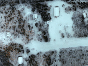
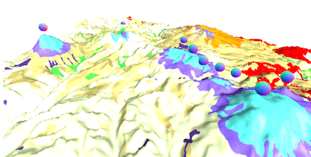
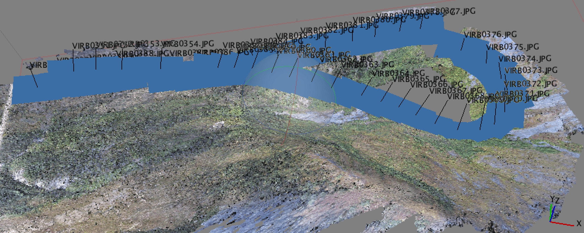
Initial results so far with the IRIS+ have been great. It’s pretty cold and dark where I live so hard to be mapping much. After a bit of experimentation with the GPS logs, I was able to geotag images from my GoPro Hero3 and generate the orthoimage below using AgiSoft Photoscan. Accuracy with only image geotags is around 2 meters. Can’t wait to see what can be done once summer comes around.
Nice! Thanks for the overview. Please deliver more of this drone material. I am considering to do similar things and I am still undecided.
Thanks Gideon. I’m considering a series on mapping with UAVs. What particular points would be of interest to you?
Very useful overview and comparison. My experience is with the Phantom 1 – rather than the 2 or the IRIS….. Phantom 1 has provided a very stable and reliable platform for the Zenmuse and GoPro so far…
David,
I agree. The Phantom is a nice platform. I would like to see DJI improve their programmed flight mode. I just don’t have the confidence in it yet.
Scott
It seems to be getting there though…. one of the problems with the IRIS in the UK is lack of support for the product….. at least at the present time…
That is a really good point, and something I did not consider when writing. 3DRobotics support in the U.S. seems pretty good so far, but I did not see where else they offered support. Definitely something I should have looked at. Thank you.
Well you can’t cover everything….. but certainly in the UK here are many nice products (in all walks of life) – many sold in the US – but a downside can be support (and future long term support) for things which can make spares costly to source if at all…..many things sold in the US are great… but depending on the product and courier you get all sorts of add on costs… import duty… handling fees for getting items from the US….. which also makes things quite expensive ….. I am staying with a DJI … for the timebeing with… Read more »
Hello. I was wondering with your set up if the camera triggers at specific points or is it set to automatically take a photograph every second or so? How are your images with the GOPro? I heard fish eye lenses cause a big increase in post-processing times.