concept of layers in a GIS

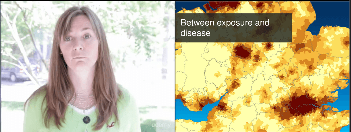
The term GIS is very closely associated with the layer concept, as a standard GIS will allow you to work in various levels and their proper representation. When you talk about GIS, you will might need to visualize this layer principle. Here is a template for such a visualization you can use under the CC license:

Layers in a GIS: This shows a digital terrain model, above the distance to the nearest water source, the slope and the TPI.
5 1 vote
Article Rating
Subscribe
Notify of
guest

This site uses Akismet to reduce spam. Learn how your comment data is processed.

0 Comments
Inline Feedbacks
View all comments