
QGIS and basemaps: QuickMapServices
To work in QGIS is very often much more convenient if you can use a basemap for your data. In the past we used and promoted OpenLayers plugin…
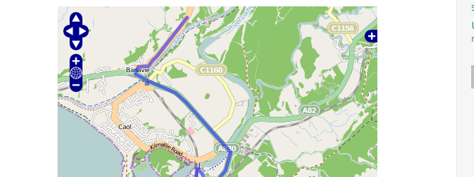
For an upcoming project I was curious about visualizing a line layer using OpenLayers. Therefore I digitized a way with googlemaps. After creating a kml with “my places”…
In the last tutorial we have created a very basic web-map using OpenLayers and one web-mapping service from OpenLayers itself. In fact using OpenLayers seems to me like…
The term GIS is very closely associated with the layer concept, as a standard GIS will allow you to work in various levels and their proper representation. When…