Landsat-8: how not to plan a mission (Part 1: policy)
I was recently reading the 2012 article by James R. Irons and colleagues describing the Landsat-8 mission (or Landsat Data Continuity Mission, LDCM, as it was then called)¹.…
I was recently reading the 2012 article by James R. Irons and colleagues describing the Landsat-8 mission (or Landsat Data Continuity Mission, LDCM, as it was then called)¹.…
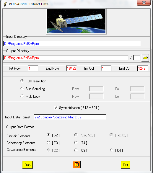
In this post I’ll take you through some simple functions in the freeware polarimetric SAR processing package, PolSARPro. The software is distributed by the European Space Agency (ESA)…

One thing about working with synethic aperture radar (SAR) data is that regular image processing functions are often unsuitable. This is because most processes were design to deal…
InSAR (Interferometric Synthetic Aperture Radar) is one of the greatest remote sensing tools for everyone interested in crustal movements. The principle is simple: A satellite equipped with a…
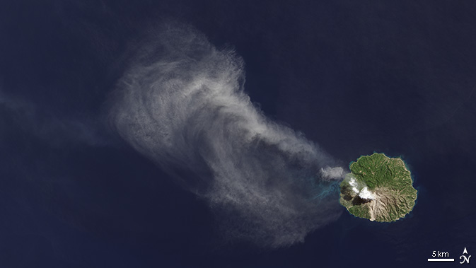
Talking to a colleague recently about monitoring changes to the magrove forest of the Rufiji Delta in tanzania, he commented on the relative scarcity of satellite data over…
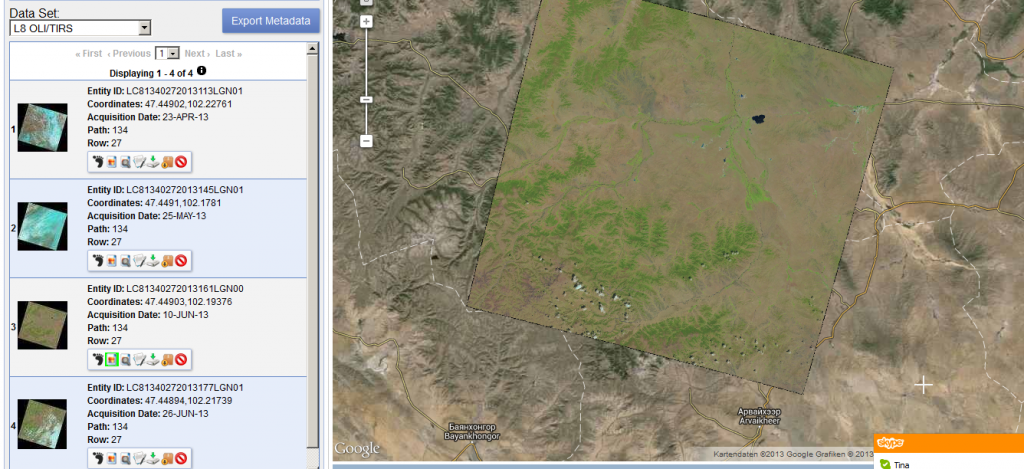
Thanks to a post from the mapbox colleagues I’ve found out that new Landsat 8 scenes are already available on EarthExplorer. The data is great!!!
Sorry to talk about this important tool with a little delay. As I was lecturing at the university I was using the Warehouse Inventory Search Tool (WIST) by…
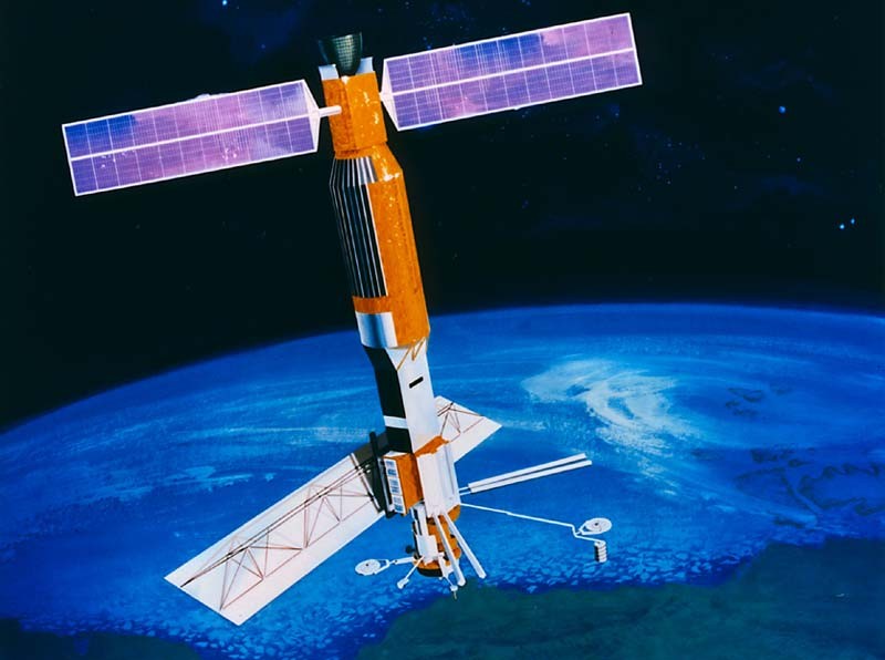
Looking Back Most people using GIS or remote sensing data came across the data obtained by the landsat satellite family. It all started with the Landsat 1 mission…
The main question when using remote sensed raster data, as we do, is the question of NaN-treatment. Many R functions are able to use an option like rm.NaN=TRUE…
In one of my last seminars relating remote sensing techniques I was blamed for calculationg the NDVI and SAVI directly with the ModelMaker in Erdas Imagine using digital…