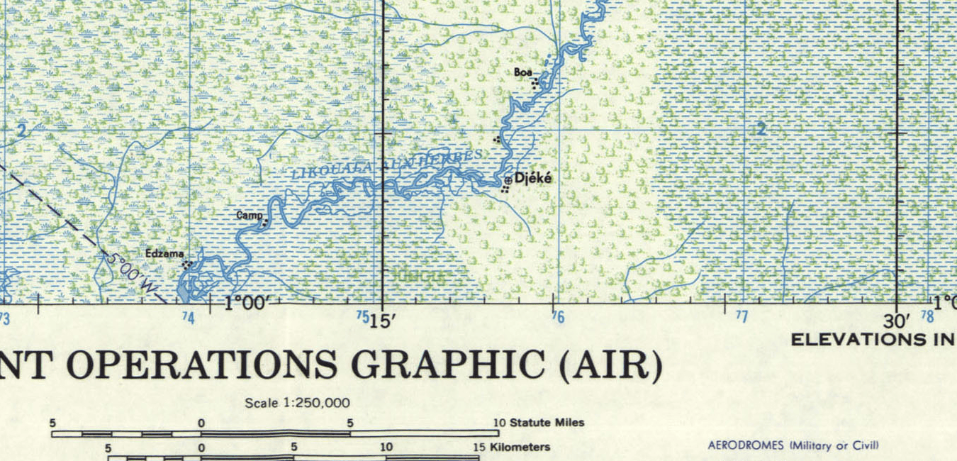
Tactical Pilotage Maps
Tactical pilotage maps “are designed to provide an intermediate scale translation of cultural and terrain features for pilots/navigators flying at very low altitudes (below 500 feet above ground level), through medium altitudes or low altitude-high speed operations.” (source)
The maps are all stuffed with English labels and provide a colourful view on physio- and anthropological features. You can easily select map sheets using these overview-maps which are click-able:
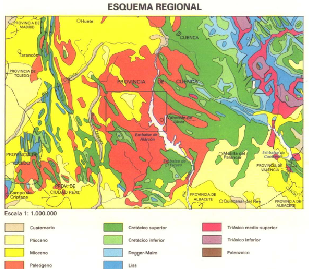
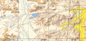
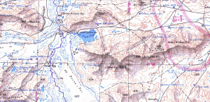
Yet one have to admit, that the Russian topographic maps are a bit more detailed. But they probably served a different purpose. But compare for yourself:
 |
 |
Other Maps
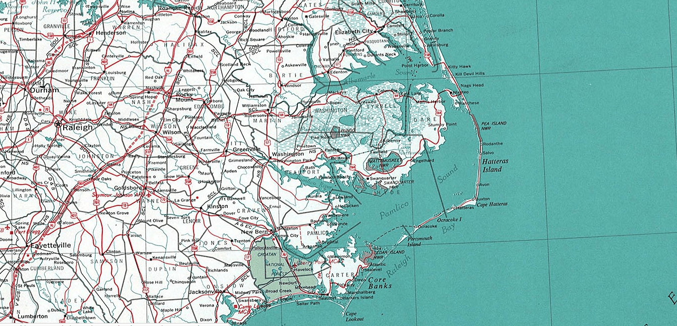
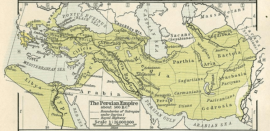
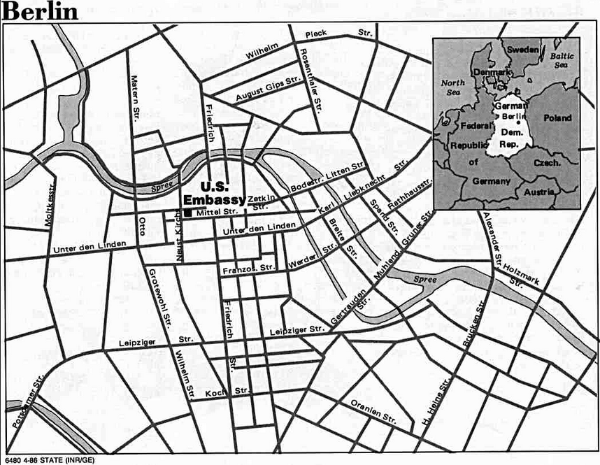
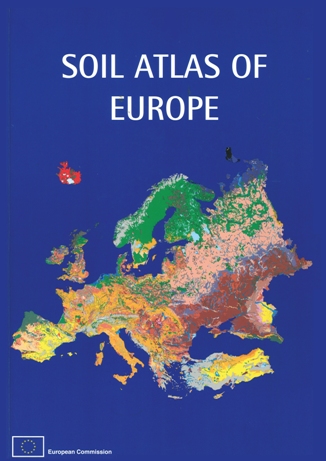
The pilotage maps are served by the Perry-Castañeda Library Map Collection. They have a great list of available maps and they are all provided as downloadable jpgs/ images. They have old historic atlases, thematic maps and nearly everything a cartographer would fall in love with. So check out the homepage and maybe support them. Most of their maps are released under public domain. See some examples here: