Ever since I have seen those fantastic geological cross sections cutting straight through the alps, I am fascinated by geological models, be it 1D, 2D or (nowadays most popular) 3D. Three dimensional geological models play a huge role in several sectors of geosciences, but honesty, their main application is connected to resource exploration.
By now there is a wide range of modeling software, from the dinosaur GOCAD with its long way of development to younger software packages, such as Leapfrog Geo or 3D GeoModeller. And as wide as the range of software products is, so is their workflow/algorithm/structure.
Whenever I worked with GOCAD, I could not help but felt somehow disconnected from the geology I try to model. Of course, this may also have been due to my limited knowledge of GOCAD. But after all, it is a CAD software (although specified for geoscientific needs).
Another approach to 3D modeling in the geosciences is done by 3D GeoModeller (and by Leapfrog in a quite similar fashion). It also has its roots in France, stemming from the BRGM. Basic differences to GOCAD already become obvious, when we look at basic input parameters. In GOCAD, you deal with points, vertices and stuff.
In GeoModeller, you have your interface points (= contacts between different units) and orientation points (= dip of the geological contact). This may already remind the geologist of his or her compass and field work. And this intuitive approach is one great benefit of GeoModeller in my opinion.
In other (more technical) words: GeoModeller works by implicit modeling of potentials, where each geologic interface (regardless if stratigraphic or tectonic) is defined as an equipotential surface (similar to isohypses etc.), whose gradient is specified by the input or orientation points.
This second explanation is not as striking as the first one, is it?
I could easily go more into detail, when it comes to describing the software and how it works. This will come in future articles, if interest exists.
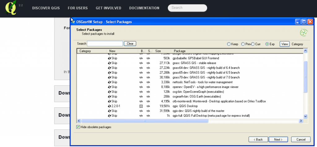
One word to GeoModeller in terms of its cost: It is a licensed software, normally purchased on an annually basis (but the people at Intrepid Geophysics are really flexible and they have a good customer support). In order to look at the capabilities of GeoModeller directly, it is possible to get a free license, valid for one month. As GeoModeller is equipped with several, well documented tutorials, one is not “forsaken” with the software.
As a matter of fact, Intrepid just started a series of free webinars on GeoModeller. The first session is already accessible on YouTube.