One hot topic on this year User Conference from ESRI in San Diego was the upcomming release of 10.2:
Until now the ESRI ArcGIS software solution was full of analytical possibilities and has its strength in nearly every aspect of geo-sensitive data storage, analysis and publication. New aspects in ArcGIS 10.2 may to be described in three words: real-time, social & interoperability.
realtime
You can now create applications with ArcGIS which show your data and data from different real-time providers like Twitter, in-car GPS devices or flickr in apps and in real-time. So you’ll have great possibilities to improve project work on big data or on different locations. Manage you’re on-site activities and see what others doing. Additionally you can embed real-time source to enrich your site analysis like twitter: how many visitors do you have on one site? What’s about traffic jams and so on. A magnificent example is shown here:
social
The social part is a little bit more diversified. Of course the big leap into the github social developing system is the most visible of all. But integrating social real-time services and making the webmapping possibilities with ArcGIS online easier than they are already enables developers, scientists and companies to publicise their spatial data, analysis and results to a broader audience and therefore inform them in a more appropriate way. With new interfaces to other software packages they’ll also get some attention form other players in the company which are not part off any spatial work at the moment. So we meat a key slogan of ESRI: “It’s All about Real People”:
interoperability
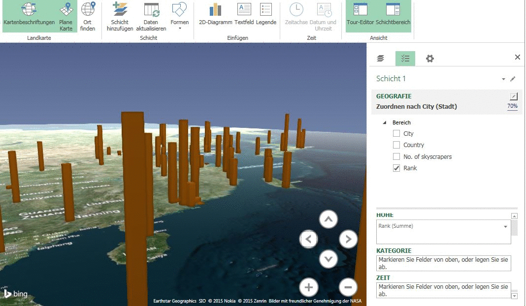
As I have stated already above: ArcGIS becomes more interoperable. Of course you can always use a CSV to import your data but having real access to SAP tables, MicroStrategy, Microsoft Dynamics CRM, Esri Maps for Office, Esri Maps for IBM Cognos and Esri Maps for SharePoint are just a few bullshit-bingo buzz words. But nevertheless it’s a great strategy to address visualization from those systems to ArcGIS as it enriches peoples view on data. But it also draws a denser net on the need of companies on ESRI technology.
Conclusion: Well done ESRI from a business perspective. Keep an eye on confidential data and security issues in this social data journey!