geo.admin.ch: bringing Swiss geodata potential to life
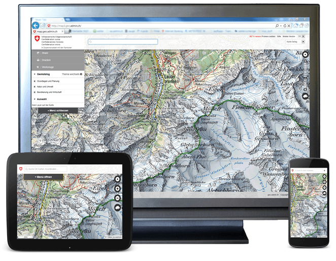
A priorized project of eGovernment Switzerland Usage and exchange of geodata is fostered by geo.admin.ch in a significant way. The Federal geoportal is operated by the Federal Office…
A priorized project of eGovernment Switzerland Usage and exchange of geodata is fostered by geo.admin.ch in a significant way. The Federal geoportal is operated by the Federal Office…

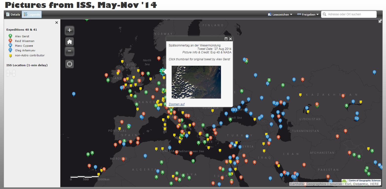
The Sojus TMA-13M started on May 28th 2014 from Baikonur to bring the German Alex Gerst, the Russian Maxim Surajew and the American Reid Wiseman to the ISS…
This is the first digital-geography.com tutorial for setting up an initial webmap with D3.js-JavaScript library by Mike Bostock.
This tutorial will explain you how to create your own, interactive webmap in a fast and easy way! Such webmaps are used zo visualize e.g. adresses on digital maps. I’m using QGis 2.4 + Qgis Plugin Qgis2Leaf, google spreadsheet and a macro, wich I’ll tell you later about.
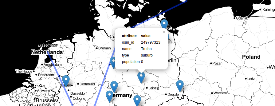
The last post about our famous qgis2leaf plugin showed a glimpse of what it is capable of: exporting all your features from a QGIS project to a working…
It was just a small idea but I haven’t slept much since it came to my mind to build a plugin fo QGIS. It should create a basic…
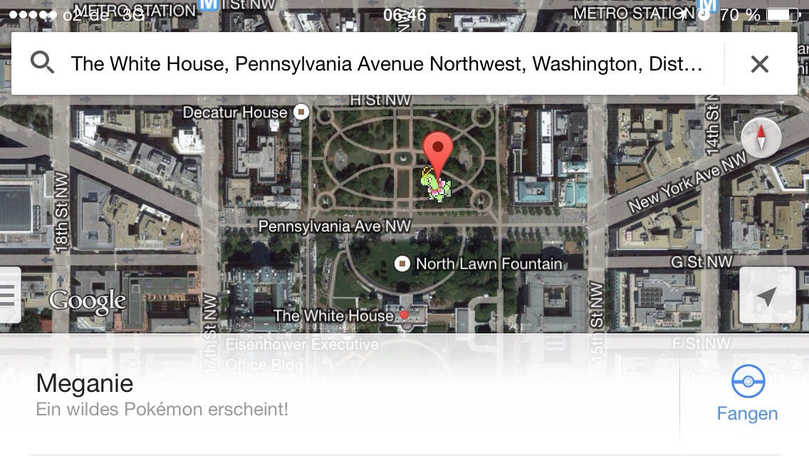
Every year we face this strange behavior of people to do some pranks on first of April. So Google pranks on this particular day of the year are…
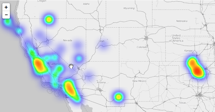
When it comes to certain tasks the usage of leaflet can be tricky. Of course it claims not to be the ultimate webmapping solution but one of the…
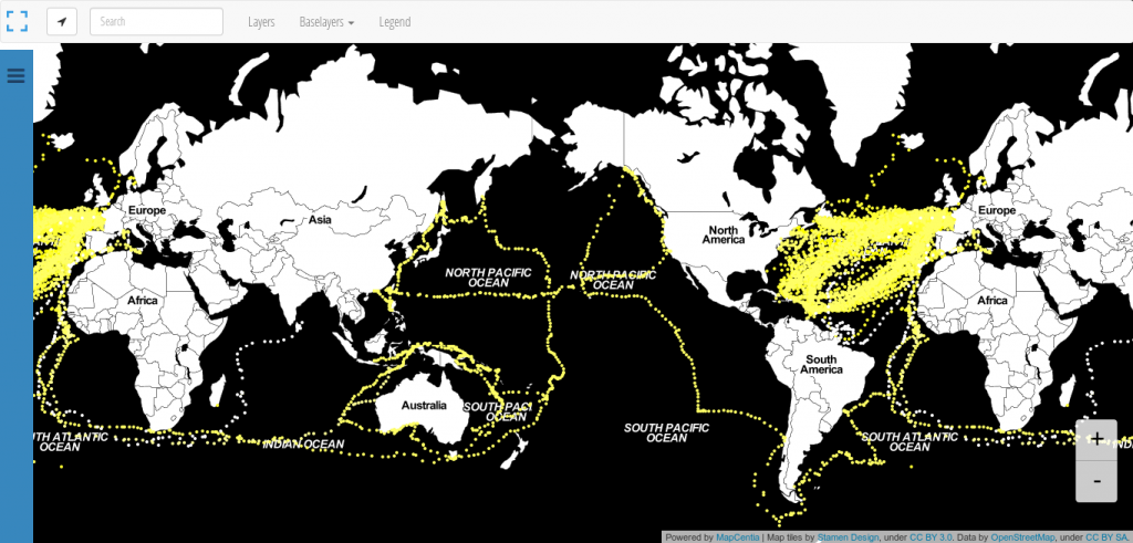
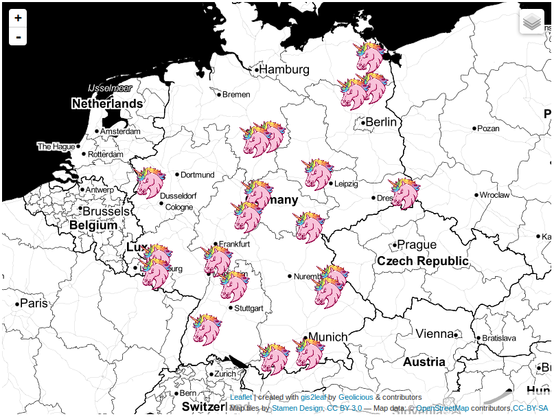
We all know: Black is beautiful. So is this map from Andrew Zolnai. But besides the stunning Stamen toner background map he also shows the significant amount of 260.000…