How to build your own QGIS plugin
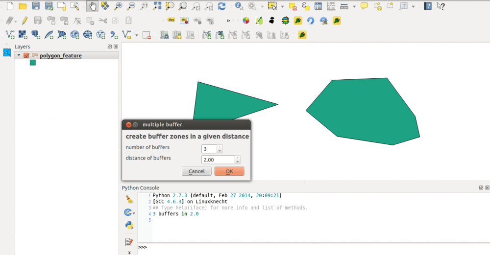
Since I’ve created the QGIS plugin qgis2leaf I was surprised how easy it is to create a plugin for QGIS. In this post I would like to show…

Since I’ve created the QGIS plugin qgis2leaf I was surprised how easy it is to create a plugin for QGIS. In this post I would like to show…

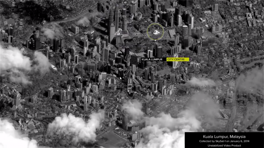
Do you remember the great game SimCity 2000? When you see the new video from SkyBox Imaging you will see some parallels.

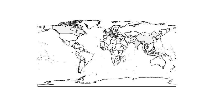
Coursera, hail to Coursera. Despite the uprising criticism on MOOCs and their footprint in the educational landscape at universities Coursera created an interesting R learning course. It is…

Since the start of Google Earth in 2001 (it was re-released in 2005 after Google acquired it from Keyhole, Inc ) remote sensing images made their way into…

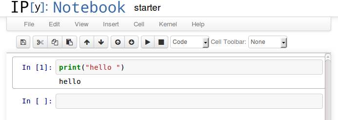
When working with GIS and statistical data there is an emerging need to know some scripting language. Python is one of the most widely used. It is not…

QGIS needs video tutorials to enable users to solve their problems with open source GIS. Please support my project qgis video tutor on startnext!
ArcGIS is a geographic-information-system (GIS) developed by ESRI. Being widely used and the sheer amount of functions and add-ons are maybe the important causes for being a big-player…
Due to a recent article at our German partner geo-works.de I would like to share my two video tutorials for doing this. The first concentrates on the so…
The work as a geographer with statistical and remote-sensing related focus arise the necessity of mastering a programming language sooner or later. Lets choose: C, C + +,…
in the next weeks I will produce a new series of how-to videos. They will cover the range of methods in GIS using open source GIS. As I…
In my years at the university i was playing around with a lot of data. These were sorted “somehow” and totally distributed. after a short while i have…
Most of you readers has probably come to a point where you asked yourself “WTF, what is this?”. And doing so by thinking and carrying about projections is…