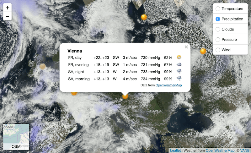
How to start with “VANE language” API – MODIS example
If you are reading this post – you might know something about satellite imagery. This is a valuable source to power quite a lot of analytics and monitoring…
If you are reading this post – you might know something about satellite imagery. This is a valuable source to power quite a lot of analytics and monitoring…

Sentinel is the buzzword for a series of Earth observation missions like Sentinel-1 (Land and Ocean monitoring,launched in April 2014), Sentinel-2 (land monitoring, launched in June 2015) and…
Since we are still in the International of Year of Soils , another Digital Soil Science post is ready. Some of you might already know that I’m addicted to…
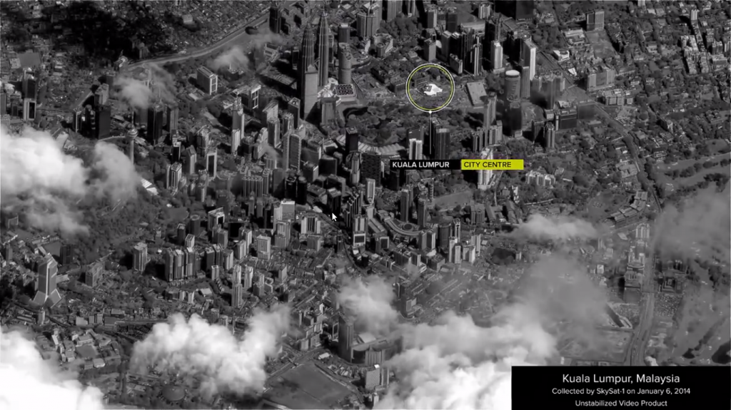
Do you remember the great game SimCity 2000? When you see the new video from SkyBox Imaging you will see some parallels.
InSAR (Interferometric Synthetic Aperture Radar) is one of the greatest remote sensing tools for everyone interested in crustal movements. The principle is simple: A satellite equipped with a…
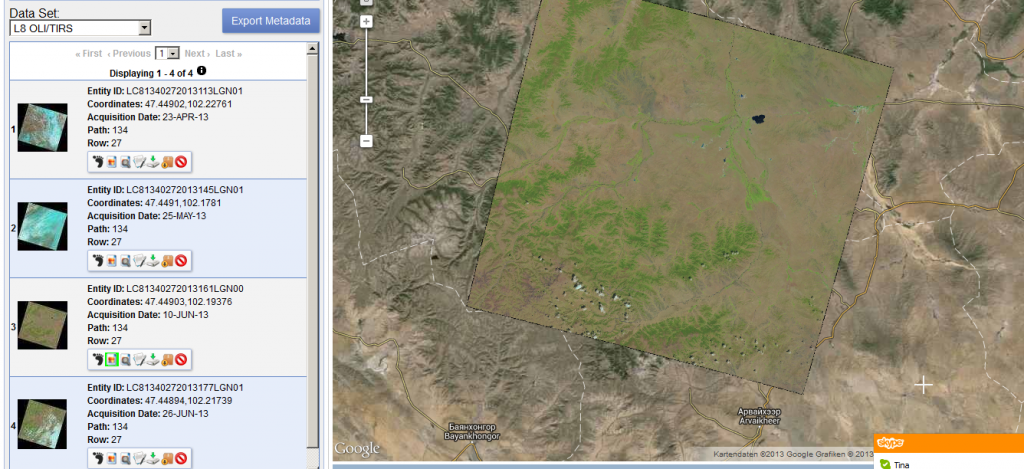
Thanks to a post from the mapbox colleagues I’ve found out that new Landsat 8 scenes are already available on EarthExplorer. The data is great!!!