Tag: GDAL

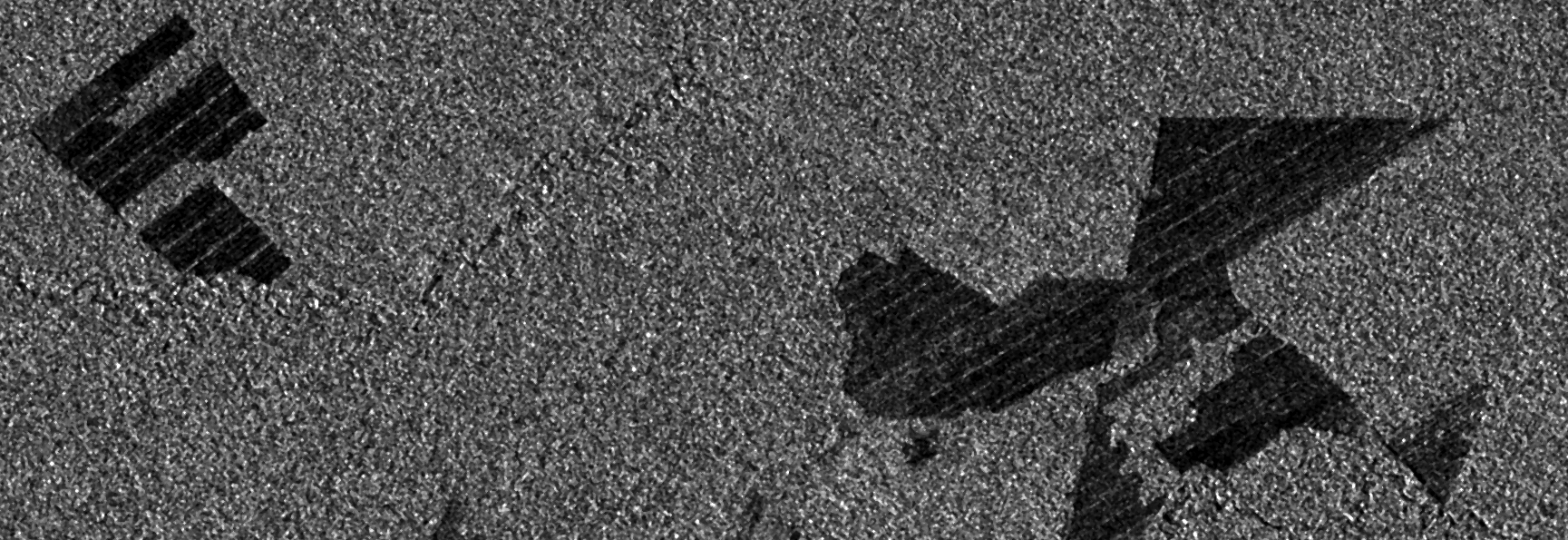
Observing deforestation with Sentinel-1
While preparing for an upcoming presentation at the annual meeting of the American Geophysical Union (AGU) I came across a topic that I thought might make an interesting blog…
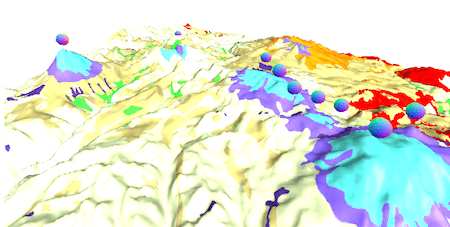
Topography and Bathymetry: GDAL to the rescue
What’s GDAL? GDAL is the Geospatial Data Abstraction Library, it’s a library to transform raster and vector data and it’s the Swiss Knife of GIS. Topography and bathymetry…

Create A Raster Layer Index With QGIS And GDAL
When working with raster datasets, it is hard to keep an overview of the raster files in use and their coverage. Most raster data providers may keep metadata…

GeoTiff compression comparison
In remote sensing you often have to deal with large datsets because their spatial or temporal resolution is high. A typical Landsat 8 scene clocks in at 0.7…

regular spaced points… interpolation madness…
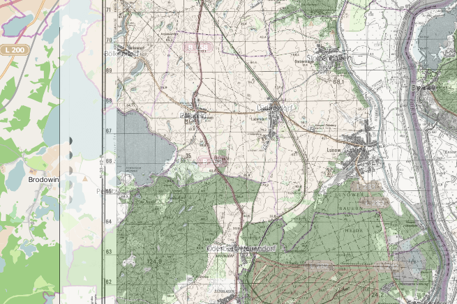
reproject and filetype change in python/pyqgis for QGIS plugin
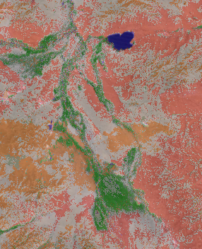
unsupervised classification in QGIS: kmeans or part two
As I have already covered the creation of a layer stack using the merge function from gdal and I’ve found this great “plugin” OrfeoToolBox (OTB) we can now…
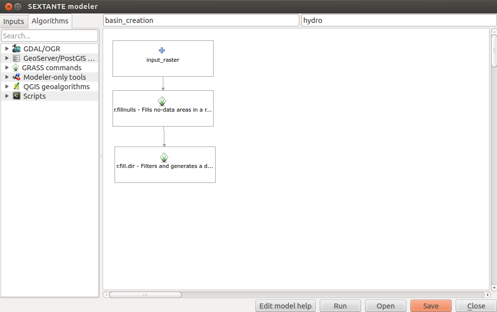
QGIS plugins: SEXTANTE
SEXTANTE by Victor Olaya is a powerful plugin that bundles many methods and applications from QGIS in one place and provides a GUI for your processing work flow…
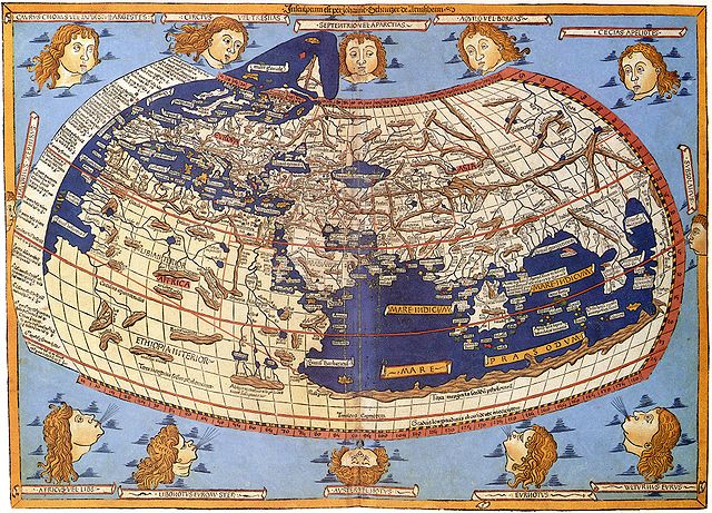
Map Projections, spatialreference.org and gdalwarp
Map Projections The question of map projections and how to reproject data is one that comes up often in discussions with both experienced colleagues and those new to…
Python for Geospatial Data Analysis (Part IV)
GDAL Geotransforms and World Files The last post in this series considered how to write a geospatially aware file, in that case a Geotiff. In the example the…
Python for Geospatial Data Analysis (Part III)
Writing Geospatial Files In the last post in this thread I began discussing basic syntax and how to open and read a geospatial raster file. This installment in…