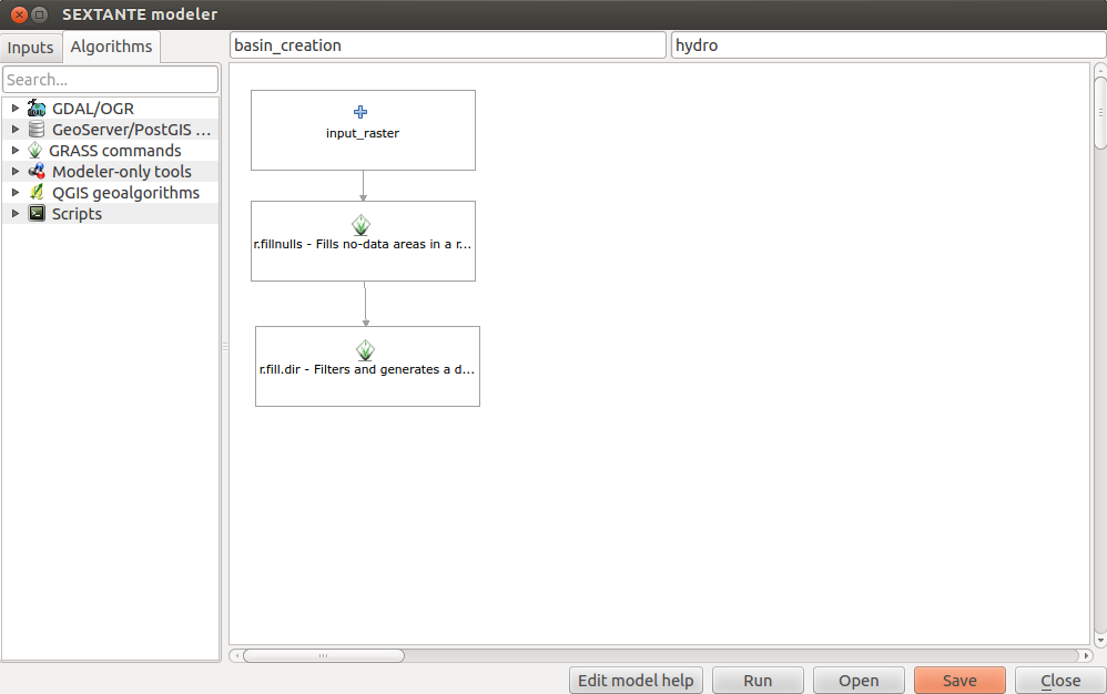
QGIS plugins: SEXTANTE
SEXTANTE by Victor Olaya is a powerful plugin that bundles many methods and applications from QGIS in one place and provides a GUI for your processing work flow…
SEXTANTE by Victor Olaya is a powerful plugin that bundles many methods and applications from QGIS in one place and provides a GUI for your processing work flow…
The leaflet API is very simple and tries to deliver best performance and style for commonly used features like tilelayers, points and lines and markers in general. So…
Thanks to the Twitterline of @directionsmag I’ve seen this new beautiful tiled WMS: OSM roads (new)
At the moment I am beta testing ENVI 5.1 and have been working with the new Region of Interest (ROI) tool. The new tool looks good with some…
This week a new 5 weeks course will start at coursera. Coursera is an online learning platform that enables people from all around the world to learn and…

One hot topic on this year User Conference from ESRI in San Diego was the upcomming release of 10.2: Tweets über “#arcgis #esriuc” Until now the ESRI ArcGIS…
Talking to a colleague recently about monitoring changes to the magrove forest of the Rufiji Delta in tanzania, he commented on the relative scarcity of satellite data over…

Google’s Earth Engine offers spatial researcher-tools in combination with their huge amount of collected satellite data. In fact you have the possibility to access e.g. 40 years of…
In our last session we started with some topographic “pre”-map as we prepared everything to create a printable map with QGIS which shows heights in a special area.…
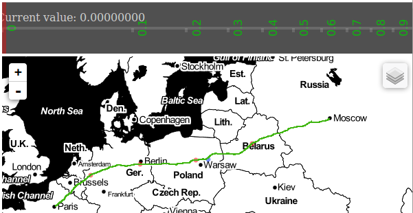
When Mike Bostock published his (re-) implementation and demonstration of Visvalingams algorithm for line simplification he attracted considerable attention on that. What is a little bit strange in…
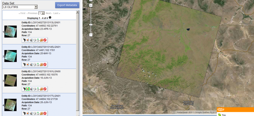
Thanks to a post from the mapbox colleagues I’ve found out that new Landsat 8 scenes are already available on EarthExplorer. The data is great!!!
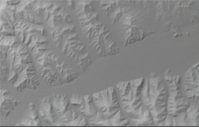
In this tutorial I would like to show you, how to create a topographic map and analyse topographical data using freely available SRTM data and QGIS including some…