Excel and mapping: an embedded non-GIS solution with Power Map
Today Aleks blew my mind with a feature on a preview addon for Microsoft’s leading spreadsheet software Excel: The Power Map Plugin. So Let me show you a…
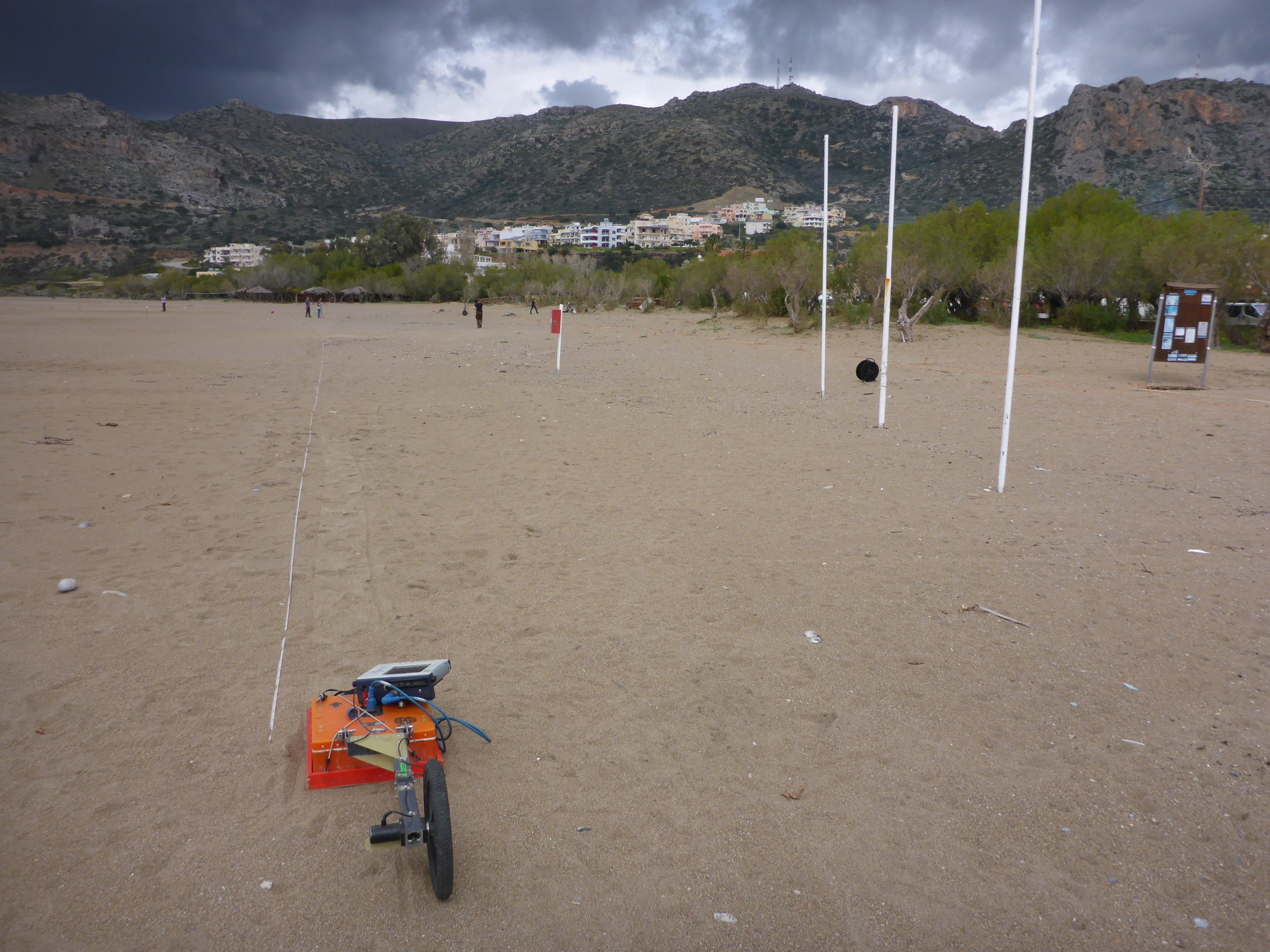
When you’re in the field you want to collect as much data as possible using all the expensive and heavy equipment you brought with. For instance, geophysical profiling…
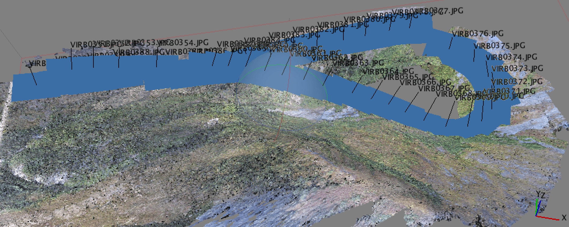
Why Geotagging? In a recent post, I discussed the new drone that I got for the holidays and a bit about how I was using it for…
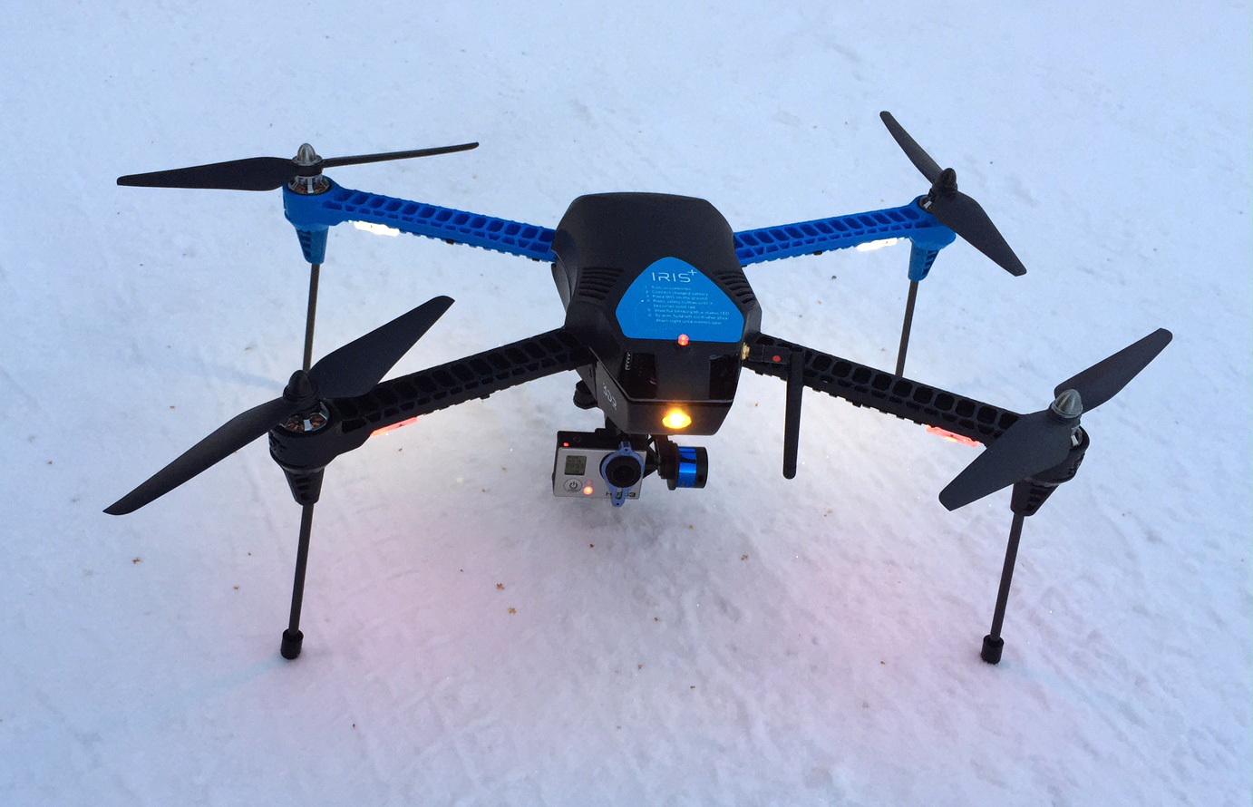
So, by now some of you have opened a holiday gift and it turned out to be a drone. I was fortunate enough this year to get a 3DR IRIS+…