In one of the biggest groups of geoscientists in Germany, Austria and Switzerland the question arose how to do a raster comparison in ArcGIS. I’ve already mentioned some…
This week ESRI will come to the real analysis of spatial data. You will get an insight into the connection between “research question” and projection, why is Mercator…
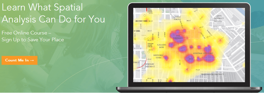
Today I came across this little page via a linkedin group (Link): This Massive Open Online Course (MOOC) is for people who know something about data analysis and…