export your qgis project to a webmap with qgis2leaf
It was just a small idea but I haven’t slept much since it came to my mind to build a plugin fo QGIS. It should create a basic…
It was just a small idea but I haven’t slept much since it came to my mind to build a plugin fo QGIS. It should create a basic…
The undercover GIS queen “Underdark” a.k.a. Anita Graser came up with this headline today and we had seen some little insight in the upcoming QGIS release already. So…

In some applications you want to calculate the density of points. It sounds very easy and in fact it is using QGIS. Let me show you how to…
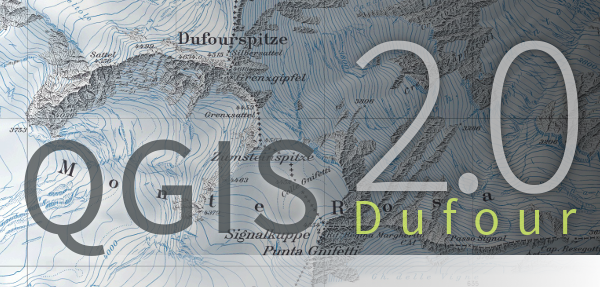
The last update of our beloved QGIS 2.0.1. version Dufour was a giant leap for a grown GIS and the next step forward is in sight. Thanks to…

3D is soooo cool… Okay let’s be honest: the exciting times of Second Life are gone and the Oculus Rift is still not in sight in the end-user…

Because the function „label selected features only“ does not exist anymore in QGIS, a workaround should just label specific features of the shapefile without exporting a new one.…
You probably already referenced maps with written coordinates but using photos or images is a little different as you need some characteristic points so you can control the…
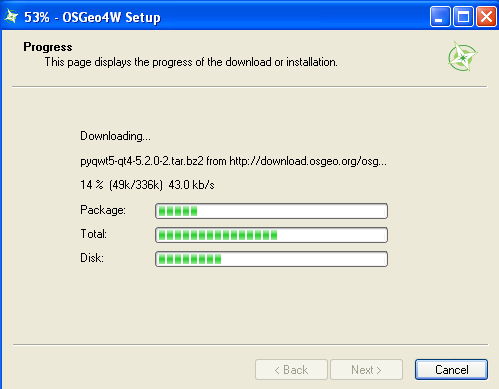
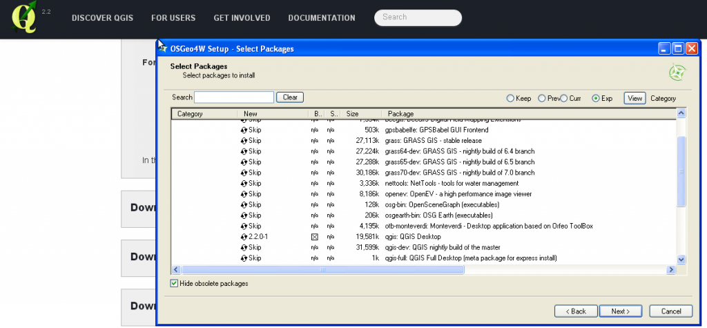
The installation of QGIS 2.0 is fairly easy on Ubuntu but much easier using Windows as an operating system. The installer is very handy and is provided by…
Today QGIS 2.0 was officially released and we will come up with several tutorials in the next weeks. First of all: the installation. As we are fans of…
Times are changing and so should a GIS. Since a long time there was the announcement to release QGIS 2.0 to the public by June. But as there…

A short time ago I’ve posted an article on the installation of QGIS in combination with a PostGIS database in the background. As we all know, Windows is…
A lot of you out there are probably working on Windows Systems using ArcGIS and I have to admit that the possibilities with ArcINFO in the background and…