D3: My First Webmap
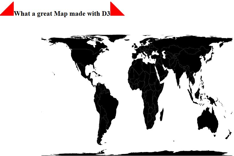
I always watched those stunning examples created with D3 by Mike Bostock, I liked Ralf’s blog posts here and I always thought to myself: get yourself together and…


The new JSON Format GeoJSON allows you to easily embed geographical features in your leaflet webmap. Additionally you can create it very easily in the open source GIS…
In one of my last seminars relating remote sensing techniques I was blamed for calculationg the NDVI and SAVI directly with the ModelMaker in Erdas Imagine using digital…
Most of my students asked me: “why do we need this or that!?”. In fact: for topologies I failed in answering often. One possibility of usage is shown…
We will go straight to the main part of the problem:how to communicate, where you are. Sometimes it is as easy as “one, two, three” but most likely…