The digital elevation dataset resulting from the SRT Mission in the year 2000 is probably the most widely used digital elevation dataset in the world. It was first…
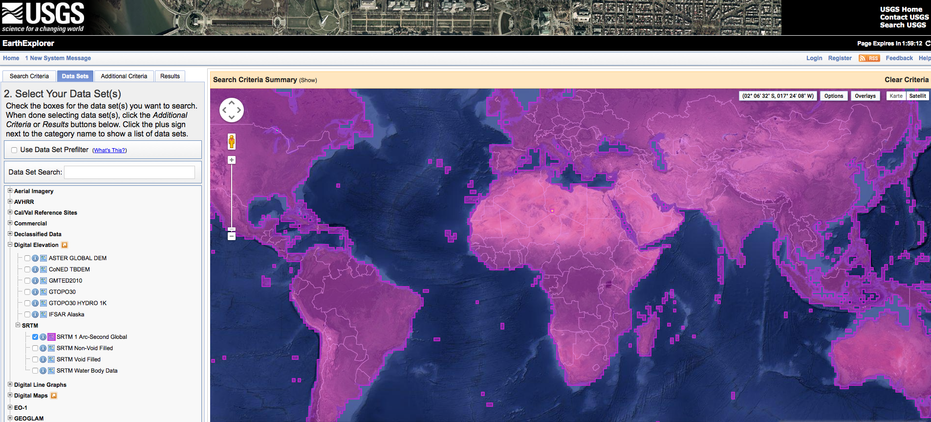
Let’s get ready to rumble! No, just kidding. We are all excited about the recent message from the white house: SRTM “1” (1 equals 1 arcsecond, whereas 3…
We use cookies to ensure that we give you the best experience on our website. If you continue to use this site we will assume that you are happy with it.