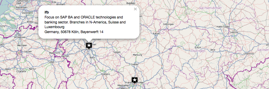
Map excel data for free – 5 steps to your own print- and webmap
To map excel data onto a print- or webmap is one of the most needed and chosen data preparations. Companies and scientists are often highly interested in located…

To map excel data onto a print- or webmap is one of the most needed and chosen data preparations. Companies and scientists are often highly interested in located…

A short time ago I’ve posted an article on the installation of QGIS in combination with a PostGIS database in the background. As we all know, Windows is…

In our first post we concentrated on the creation of a table in leaflet and simple ways to administer our data and to embed the map in a…
So, we all know how a topographical map looks like. On a topographic map, we see different objects, which are indicated by different symbols. For example, we see…
ArcGIS is a geographic-information-system (GIS) developed by ESRI. Being widely used and the sheer amount of functions and add-ons are maybe the important causes for being a big-player…
Some days ago I’ve presented a way to load and monitor the content of a shapefile using pyshp. But since then I was remembering my work with shapefiles…