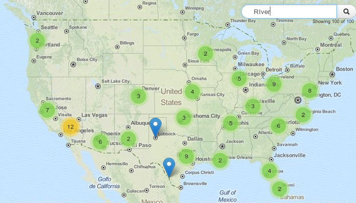
CSVs and leaflet: the ultimate ressource
When it comes to certain tasks the usage of leaflet can be tricky. Of course it claims not to be the ultimate webmapping solution but one of the…

When it comes to certain tasks the usage of leaflet can be tricky. Of course it claims not to be the ultimate webmapping solution but one of the…
In this tutorial I’ll show you, how to combine text information with spatial information using the open source software QGis. You can easily download and install QGis from…